Transport Functions
Port
Road
Hub Profile
Place type
Populated place
Region
Minnesota
Time zone
America/Chicago
Elevation
290 m
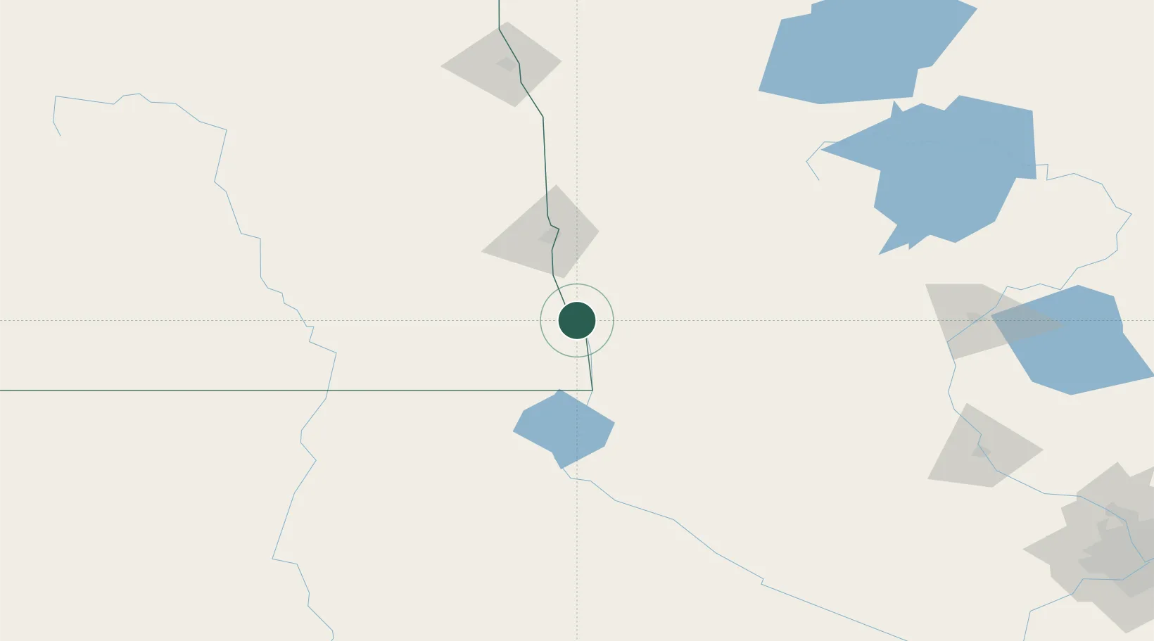
Location
Nearby Logistics Neighbours
Cities
- 1Horace48 km
- 2Pelican Rapids49 km
- 3Rosholt56 km
- 4Lake Park72 km
- 5Gwinner79 km
Ports
- 1Duluth351 km
- 2Superior353 km
- 3Two Harbors388 km
- 4Washburn442 km
- 5Ashland444 km
Airports
- 1Hector International Airport63 km
- 2Chandler Field112 km
- 3Watertown Regional Airport166 km
- 4Jamestown Regional Airport167 km
- 5Aberdeen Regional Airport171 km
Trade Zones
- 1FTZ No. 267 Fargo59 km
- 2FTZ No. 103 Grand Forks177 km
- 3FTZ No. 259 Koochiching County276 km
- 4FTZ No. 119 Minneapolis-St. Paul307 km
- 5FTZ No. 220 Sioux Falls313 km
DatabookThe Record of Consolidated Knowledge
United States beyond logistics?