Medium airport · United States
Jamestown Regional AirportKJMS
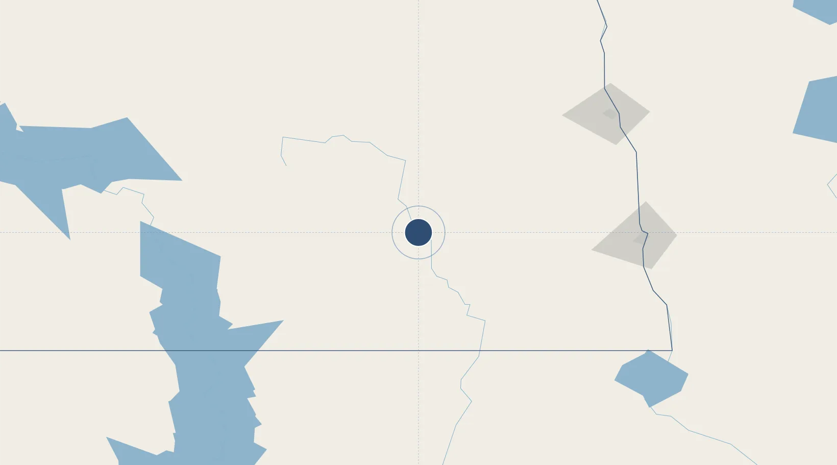
46.9297°, -98.6782°
6,502 ft
Longest runway
2
Runways
1,500 ft
Elevation
Runway & Layout

Radio Frequencies
ASOS
118.425 MHz
CNTR
124.2 MHz
MINNEAPOLIS CNTR
RDO
122.2 MHz
GRAND FORKS RDO
UNIC
123 MHz
CTAF/UNICOM
Navaids
JM NDB Sabon 395 kHz
JMS VOR-DME Jamestown 114.50 MHz
Runways · 2
| Runway | Dimensions | Surface | True heading | Lit |
|---|---|---|---|---|
| 13/31 | 6,502 × 100ft | Asphalt | 135° | ✓ |
| 04/22 | 5,750 × 75ft | Asphalt | 045° | ✓ |
Airport Specifications
IATA code
JMS
ICAO code
KJMS
Airport class
Medium airport
Scheduled service
Yes
Runway surface
Asphalt
Served city
Jamestown
Location
Nearby Logistics Neighbours
Airports
Cities
- 1Eldridge14 km
- 2Sydney23 km
- 3Cooperstown72 km
- 4Tappen73 km
- 5Finley90 km
Ports
- 1Duluth501 km
- 2Superior503 km
- 3Two Harbors533 km
- 4Washburn594 km
- 5Ashland596 km
Trade Zones
- 1FTZ No. 267 Fargo130 km
- 2FTZ No. 103 Grand Forks158 km
- 3Winnipegs Centreport Canada349 km
- 4FTZ No. 259 Koochiching County360 km
- 5FTZ No. 220 Sioux Falls404 km
DatabookThe Record of Consolidated Knowledge
United States beyond logistics?