Medium airport · United States

Hector International AirportKFAR
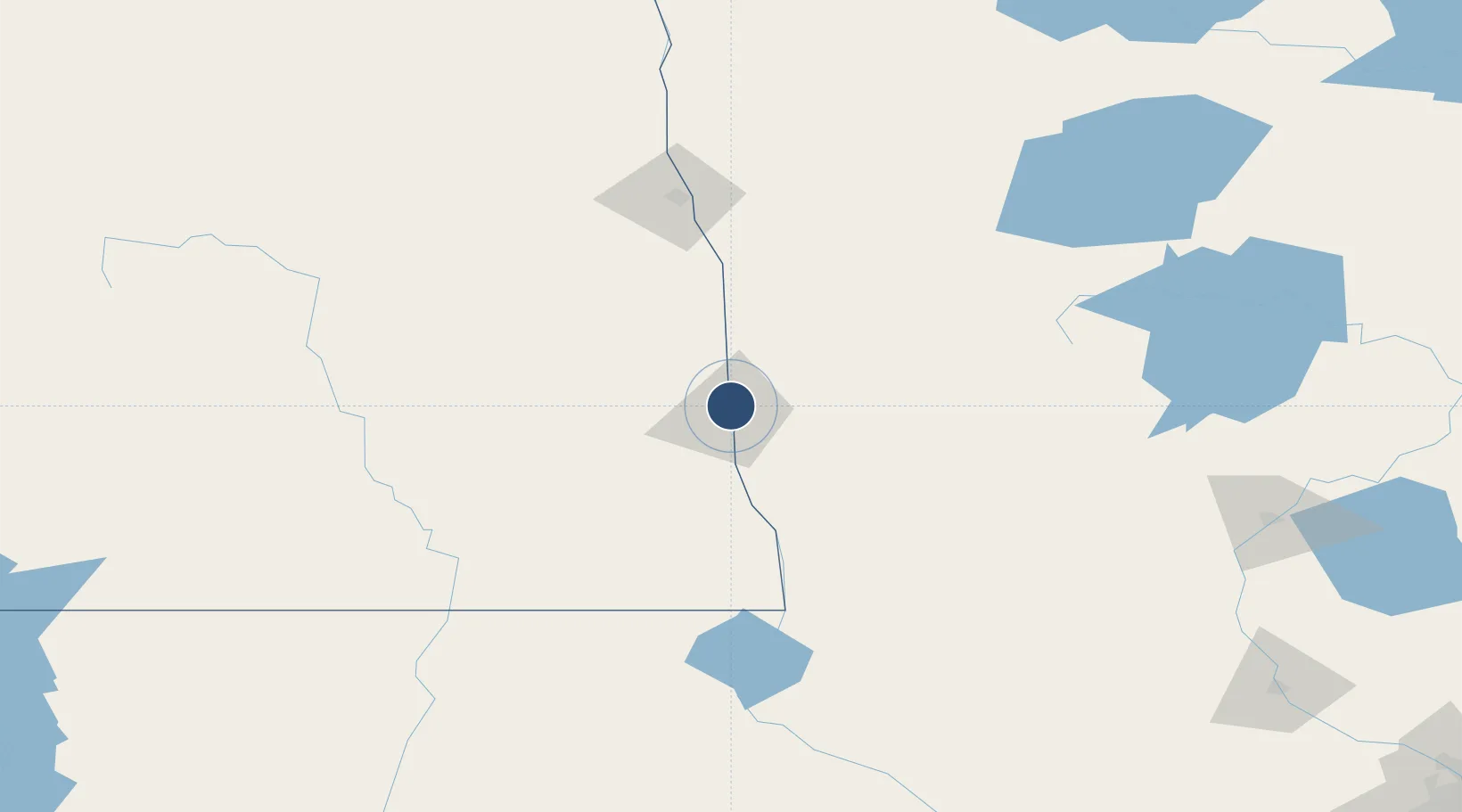
46.9207°, -96.8158°
9,001 ft
Longest runway
3
Runways
902 ft
Elevation

Runway & Layout

Hector International Airport runway & taxiway layout
Runway & taxiway layout — OpenStreetMap (ODbL) / OurAirports

Radio Frequencies

ATIS
124.5 MHz
TWR
133.8 MHz
FARGO TWR
GND
121.9 MHz
GND/CLNC DEL
A/D
120.4 MHz
FARGO APP/DEP
RDO
122.425 MHz
GRAND FORKS RDO
UNIC
122.95 MHz
UNICOM
OurAirports

Navaids

AA NDB Kenie 365 kHz
FAR VORTAC Fargo 116.20 MHz
OurAirports

Runways · 3

RunwayDimensions SurfaceTrue headingLit
18/36 9,001 × 150ft Concrete 180°
09/27 6,302 × 100ft Concrete 090°
13/31 3,801 × 75ft Asphalt / concrete 137°
OurAirports

Airport Specifications

IATA code
FAR
OurAirports
ICAO code
KFAR
OurAirports
Airport class
Medium airport
OurAirports
Scheduled service
Yes
OurAirports
Runway surface
Concrete
OurAirports
Served city
Fargo
OurAirports

Location

Location of KFAR
Natural Earth 10m (public domain) · North Dakota · KFAR · 46.92, -96.82GoogleOSMYandex

Nearby Logistics Neighbours

Airports
  1. 1Grand Forks International Airport118 km
  2. 2Grand Forks Air Force Base124 km
  3. 3Thief River Falls Regional Airport136 km
  4. 4Jamestown Regional Airport141 km
  5. 5Bemidji Regional Airport157 km
Nearest neighbours — logibook spatial index (haversine) over the source coordinates
Cities
  1. 1Horace18 km
  2. 2Grandin38 km
  3. 3Ada48 km
  4. 4Lake Park56 km
  5. 5Brushvale63 km
Nearest neighbours — logibook spatial index (haversine) over the source coordinates
Ports
  1. 1Duluth359 km
  2. 2Superior362 km
  3. 3Two Harbors392 km
  4. 4Washburn452 km
  5. 5Ashland455 km
Nearest neighbours — logibook spatial index (haversine) over the source coordinates
Trade Zones
  1. 1FTZ No. 267 Fargo14 km
  2. 2FTZ No. 103 Grand Forks114 km
  3. 3FTZ No. 259 Koochiching County241 km
  4. 4Winnipegs Centreport Canada332 km
  5. 5FTZ No. 051 Duluth348 km
Nearest neighbours — logibook spatial index (haversine) over the source coordinates
DatabookThe Record of Consolidated Knowledge
United States beyond logistics?
Browse databook

All Sources

AirportsOurAirports
Public domain
Portsthe NGA World Port Index
Public domain (US gov)
LocationsUN/LOCODE
UN/LOCODE — free
Trade Zonesthe World Bank SEZ database
CC BY 4.0
Trade ZonesOpen Zone Map
CC BY
InfrastructureOpenStreetMap
ODbL 1.0
← United States airports