UN/LOCODE hub · United States
USTRO
Trotwood
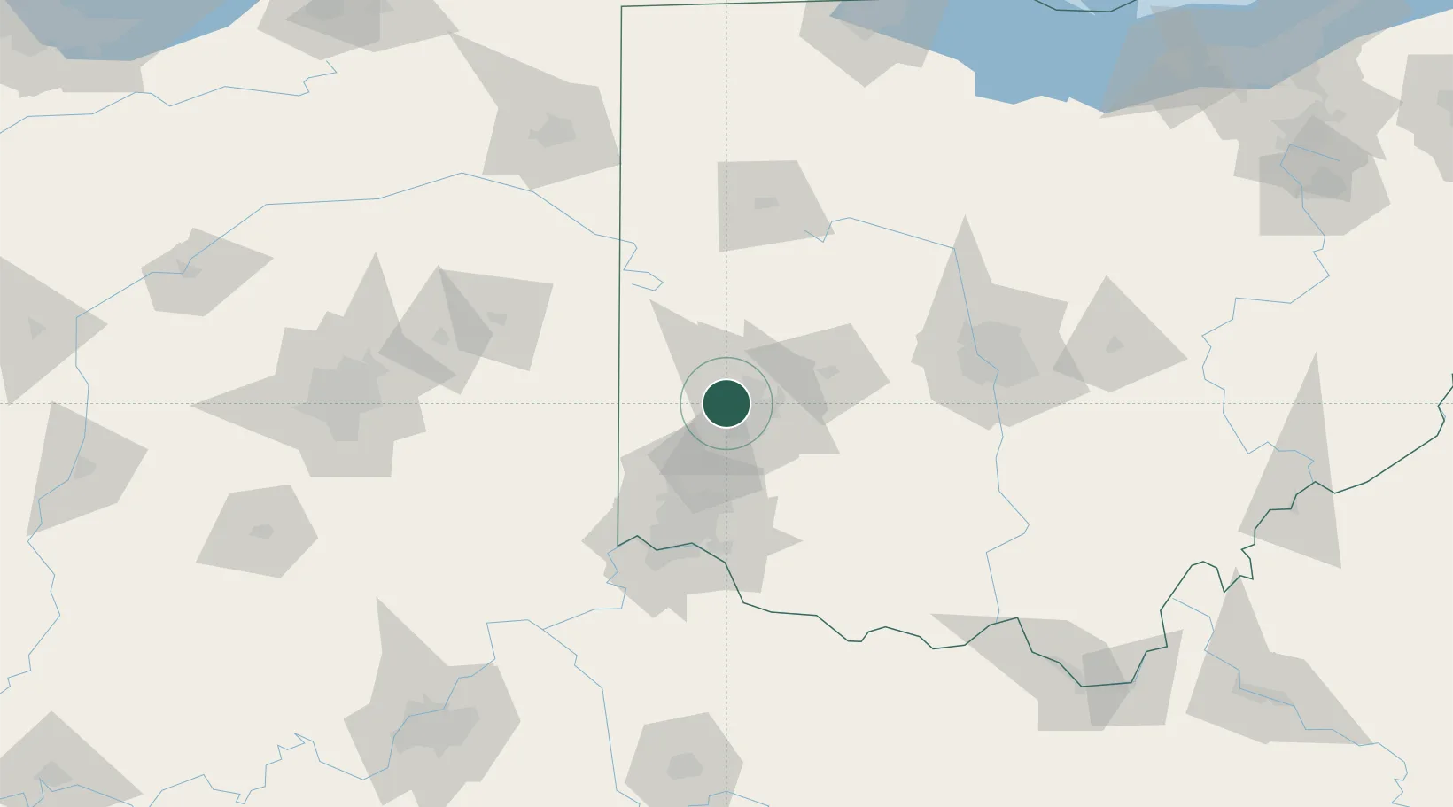
39.7833°, -84.3000°
24,096
Population
3
Transport functions
Transport Functions
Rail
Road
Multimodal
Hub Profile
Place type
Populated place
Region
Ohio
Population
24,096
Time zone
America/New_York
Elevation
256 m
Location
Nearby Logistics Neighbours
Cities
- 1Englewood9 km
- 2Brookville10 km
- 3Huber Heights17 km
- 4Miamisburg17 km
- 5West Milton19 km
Ports
- 1Toledo224 km
- 2Port Clinton225 km
- 3Sandusky229 km
- 4Huron233 km
- 5Put In Bay242 km
Airports
Trade Zones
- 1FTZ No. 100 Dayton2 km
- 2FTZ No. 054 Clinton County59 km
- 3FTZ No. 046 CIncinnati78 km
- 4FTZ No. 047 Boone County104 km
- 5FTZ No. 138 Franklin County117 km
DatabookThe Record of Consolidated Knowledge
United States beyond logistics?