UN/LOCODE hub · United States
USQHT
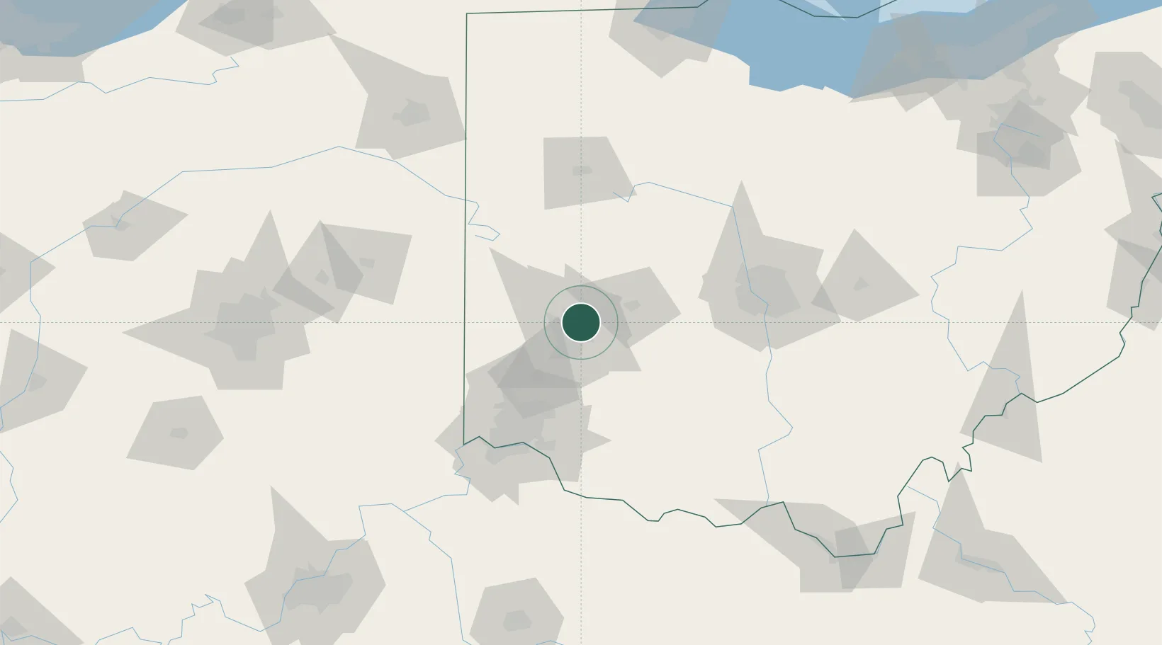
Huber Heights
39.8333°, -84.1167°
38,176
Population
2
Transport functions
Transport Functions
Port
Road
Hub Profile
Place type
Populated place
Region
Ohio
Population
38,176
Time zone
America/New_York
Elevation
284 m
Location
Nearby Logistics Neighbours
Cities
- 1Beavercreek13 km
- 2New Carlisle14 km
- 3Englewood16 km
- 4Enon16 km
- 5Trotwood17 km
Ports
- 1Port Clinton212 km
- 2Toledo215 km
- 3Sandusky215 km
- 4Huron219 km
- 5Put In Bay230 km
Airports
Trade Zones
- 1FTZ No. 100 Dayton15 km
- 2FTZ No. 054 Clinton County53 km
- 3FTZ No. 046 CIncinnati88 km
- 4FTZ No. 138 Franklin County101 km
- 5FTZ No. 047 Boone County117 km
DatabookThe Record of Consolidated Knowledge
United States beyond logistics?