UN/LOCODE hub · United States
USOOV
Brookville
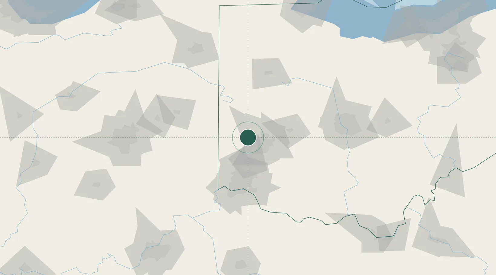
39.8333°, -84.4000°
5,900
Population
3
Transport functions
Transport Functions
Rail
Road
Multimodal
Hub Profile
Place type
Populated place
Region
Ohio
Population
5,900
Time zone
America/New_York
Elevation
314 m
Location
Nearby Logistics Neighbours
Cities
- 1Englewood9 km
- 2Trotwood10 km
- 3West Milton15 km
- 4Hamburg23 km
- 5Huber Heights24 km
Ports
- 1Toledo222 km
- 2Port Clinton224 km
- 3Sandusky229 km
- 4Huron234 km
- 5Put In Bay242 km
Airports
Trade Zones
- 1FTZ No. 100 Dayton11 km
- 2FTZ No. 054 Clinton County69 km
- 3FTZ No. 046 CIncinnati82 km
- 4FTZ No. 047 Boone County106 km
- 5FTZ No. 138 Franklin County125 km
DatabookThe Record of Consolidated Knowledge
United States beyond logistics?