UN/LOCODE hub · United States
USJWQ
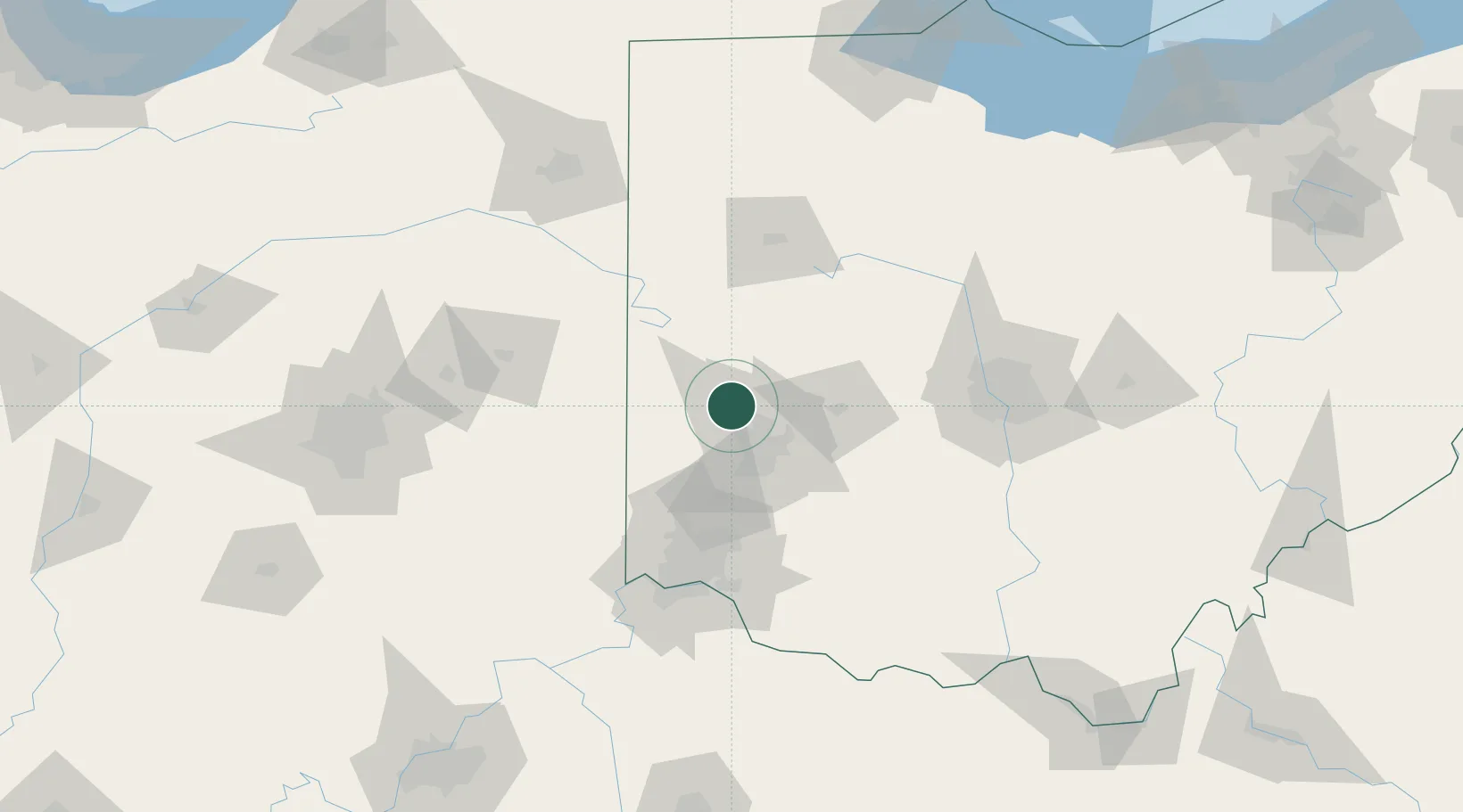
West Milton
39.9500°, -84.3167°
4,714
Population
2
Transport functions
Transport Functions
Port
Multimodal
Hub Profile
Place type
Populated place
Region
Ohio
Population
4,714
Time zone
America/New_York
Elevation
276 m
Location
Nearby Logistics Neighbours
Cities
- 1Englewood9 km
- 2Brookville15 km
- 3Trotwood19 km
- 4Covington19 km
- 5Huber Heights21 km
Ports
- 1Toledo207 km
- 2Port Clinton210 km
- 3Sandusky215 km
- 4Huron220 km
- 5Put In Bay227 km
Airports
Trade Zones
- 1FTZ No. 100 Dayton17 km
- 2FTZ No. 054 Clinton County73 km
- 3FTZ No. 046 CIncinnati96 km
- 4FTZ No. 138 Franklin County119 km
- 5FTZ No. 047 Boone County120 km
DatabookThe Record of Consolidated Knowledge
United States beyond logistics?