UN/LOCODE hub · United States
USBCL
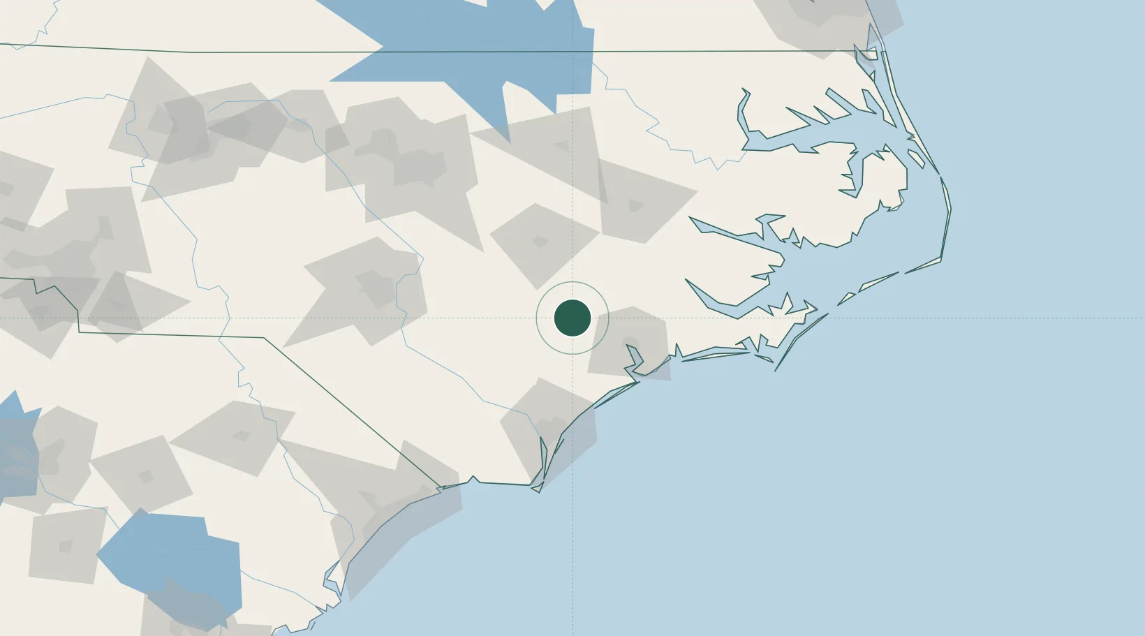
Beulaville
34.9167°, -77.7667°
1,330
Population
2
Transport functions
Transport Functions
Port
Road
Hub Profile
Place type
Populated place
Region
North Carolina
Population
1,330
Time zone
America/New_York
Elevation
26 m
Location
Nearby Logistics Neighbours
Cities
- 1Pink Hill15 km
- 2La Grange43 km
- 3Midway Park45 km
- 4Sneads Ferry54 km
- 5Atkinson56 km
Ports
- 1New Bern68 km
- 2Wilmington78 km
- 3Wrightsville78 km
- 4Washington96 km
- 5Morehead City100 km
Airports
Trade Zones
- 1FTZ No. 214 Lenoir County35 km
- 2FTZ No. 093 Raleigh Durham151 km
- 3FTZ No. 020 Suffolk247 km
- 4FTZ No. 230 Piedmont Triad Area258 km
- 5FTZ No. 207 Richmond291 km
DatabookThe Record of Consolidated Knowledge
United States beyond logistics?