Medium airport · United States

Pitt-Greenville AirportKPGV
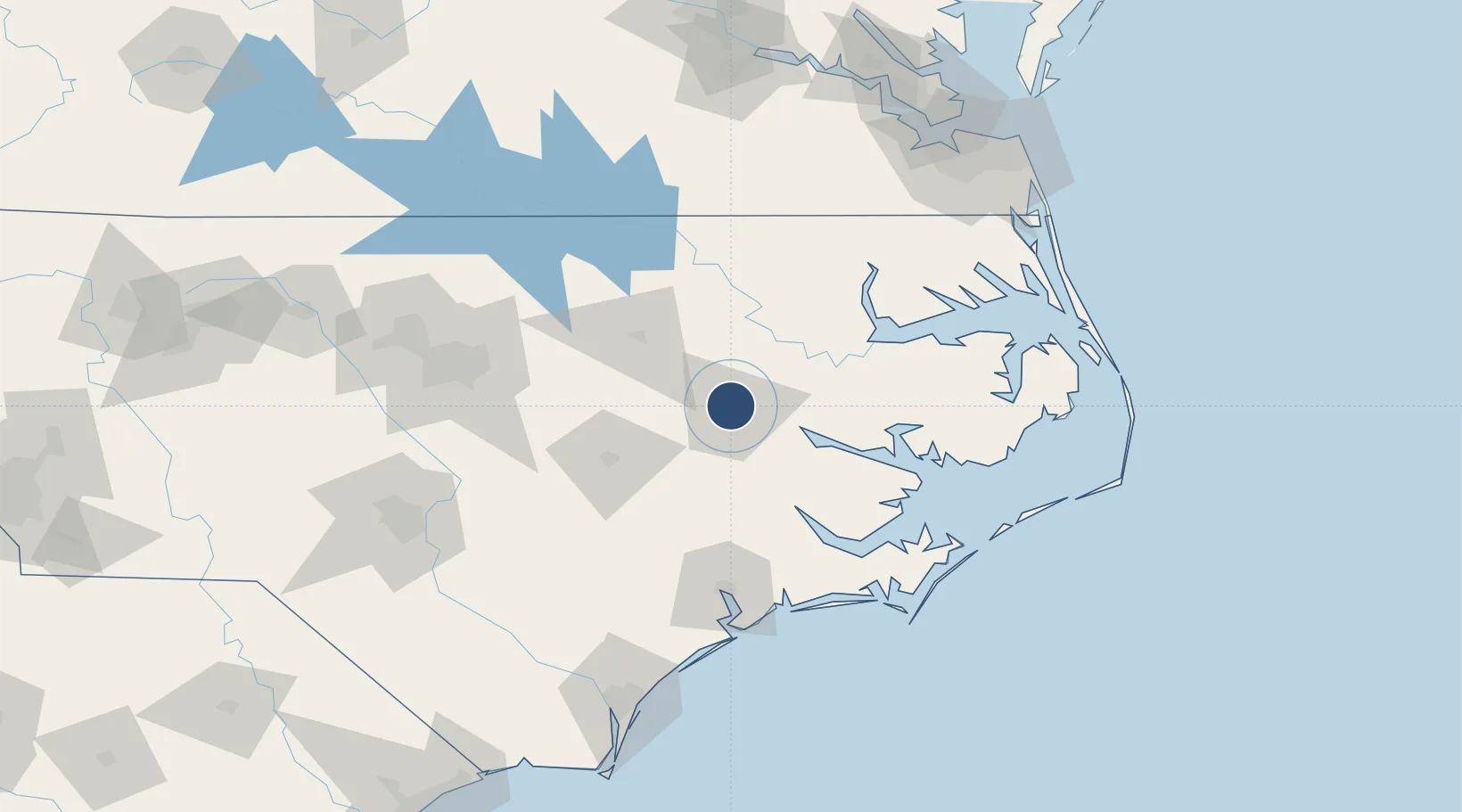
35.6355°, -77.3843°
7,175 ft
Longest runway
2
Runways
26 ft
Elevation

Runway & Layout

Pitt-Greenville Airport runway & taxiway layout
Runway & taxiway layout — OpenStreetMap (ODbL) / OurAirports

Radio Frequencies

AWOS
128.425 MHz
AWOS 3
CLD
122.35 MHz
CLNC DEL
CNTR
135.5 MHz
WASHINGTON CNTR
UNIC
122.8 MHz
CTAF/UNICOM
OurAirports

Runways · 2

RunwayDimensions SurfaceTrue headingLit
02/20 7,175 × 150ft Asphalt 008°
08/26 4,997 × 150ft Asphalt 067°
OurAirports

Airport Specifications

IATA code
PGV
OurAirports
ICAO code
KPGV
OurAirports
Airport class
Medium airport
OurAirports
Scheduled service
Yes
OurAirports
Runway surface
Asphalt
OurAirports
Served city
Greenville
OurAirports

Location

Location of KPGV
Natural Earth 10m (public domain) · North Carolina · KPGV · 35.64, -77.38GoogleOSMYandex

Nearby Logistics Neighbours

Airports
  1. 1Kinston Regional Jetport At Stallings Field40 km
  2. 2Rocky Mount Wilson Regional Airport52 km
  3. 3Seymour Johnson Air Force Base62 km
  4. 4Coastal Carolina Regional Airport70 km
  5. 5Johnston Regional Airport92 km
Nearest neighbours — logibook spatial index (haversine) over the source coordinates
Cities
  1. 1Winterville12 km
  2. 2Bethel, Pitt18 km
  3. 3Robersonville24 km
  4. 4Hanrahan27 km
  5. 5Pinetops28 km
Nearest neighbours — logibook spatial index (haversine) over the source coordinates
Ports
  1. 1Washington32 km
  2. 2Plymouth63 km
  3. 3New Bern67 km
  4. 4Belhaven69 km
  5. 5Edenton83 km
Nearest neighbours — logibook spatial index (haversine) over the source coordinates
Trade Zones
  1. 1FTZ No. 214 Lenoir County66 km
  2. 2FTZ No. 093 Raleigh Durham140 km
  3. 3FTZ No. 020 Suffolk160 km
  4. 4FTZ No. 207 Richmond211 km
  5. 5FTZ No. 230 Piedmont Triad Area257 km
Nearest neighbours — logibook spatial index (haversine) over the source coordinates
DatabookThe Record of Consolidated Knowledge
United States beyond logistics?
Browse databook

All Sources

AirportsOurAirports
Public domain
Portsthe NGA World Port Index
Public domain (US gov)
LocationsUN/LOCODE
UN/LOCODE — free
Trade Zonesthe World Bank SEZ database
CC BY 4.0
Trade ZonesOpen Zone Map
CC BY
InfrastructureOpenStreetMap
ODbL 1.0
← United States airports