Medium airport · United States

Kinston Regional Jetport At Stallings FieldKISO
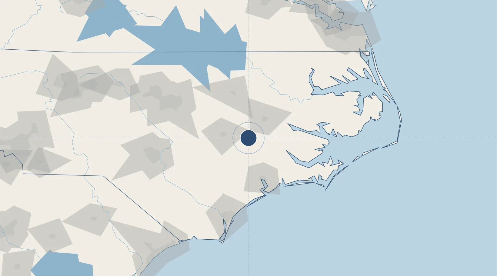
35.3314°, -77.6088°
11,498 ft
Longest runway
1
Runways
93 ft
Elevation

Runway & Layout

Kinston Regional Jetport At Stallings Field runway & taxiway layout
Runway & taxiway layout — OpenStreetMap (ODbL) / OurAirports

Radio Frequencies

AWOS
132.75 MHz
AWOS 3
TWR
120.6 MHz
GND
121.9 MHz
CTAF
120.6 MHz
A/D
127.3 MHz
SEYMOUR JOHN APP/DEP
RDO
109.6 MHz
RALEIGH RDO
UNIC
122.95 MHz
UNICOM
OurAirports

Runways · 1

RunwayDimensions SurfaceTrue headingLit
05/23 11,498 × 150ft Asphalt 041°
OurAirports

Airport Specifications

IATA code
ISO
OurAirports
ICAO code
KISO
OurAirports
Airport class
Medium airport
OurAirports
Scheduled service
No
OurAirports
Runway surface
Asphalt
OurAirports
Served city
Kinston
OurAirports

Location

Location of KISO
Natural Earth 10m (public domain) · North Carolina · KISO · 35.33, -77.61GoogleOSMYandex

Nearby Logistics Neighbours

Airports
  1. 1Seymour Johnson Air Force Base32 km
  2. 2Pitt-Greenville Airport40 km
  3. 3Albert J Ellis Airport56 km
  4. 4Coastal Carolina Regional Airport59 km
  5. 5Rocky Mount Wilson Regional Airport64 km
Nearest neighbours — logibook spatial index (haversine) over the source coordinates
Cities
  1. 1La Grange16 km
  2. 2Grifton16 km
  3. 3Hanrahan18 km
  4. 4Winterville29 km
  5. 5Pink Hill34 km
Nearest neighbours — logibook spatial index (haversine) over the source coordinates
Ports
  1. 1Washington56 km
  2. 2New Bern57 km
  3. 3Belhaven95 km
  4. 4Plymouth98 km
  5. 5Morehead City107 km
Nearest neighbours — logibook spatial index (haversine) over the source coordinates
Trade Zones
  1. 1FTZ No. 214 Lenoir County29 km
  2. 2FTZ No. 093 Raleigh Durham133 km
  3. 3FTZ No. 020 Suffolk199 km
  4. 4FTZ No. 207 Richmond244 km
  5. 5FTZ No. 230 Piedmont Triad Area248 km
Nearest neighbours — logibook spatial index (haversine) over the source coordinates
DatabookThe Record of Consolidated Knowledge
United States beyond logistics?
Browse databook

All Sources

AirportsOurAirports
Public domain
Portsthe NGA World Port Index
Public domain (US gov)
LocationsUN/LOCODE
UN/LOCODE — free
Trade Zonesthe World Bank SEZ database
CC BY 4.0
Trade ZonesOpen Zone Map
CC BY
InfrastructureOpenStreetMap
ODbL 1.0
← United States airports