Transport Functions
Multimodal
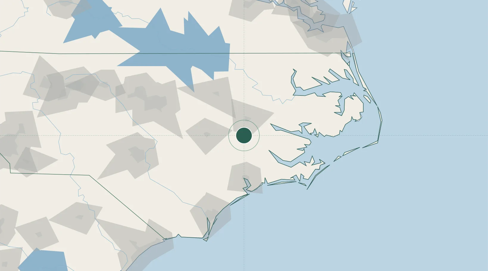
Hub Profile
Place type
Populated place
Region
North Carolina
Population
2,673
Time zone
America/New_York
Elevation
8 m
Location
Nearby Logistics Neighbours
Cities
- 1Hanrahan4 km
- 2Winterville19 km
- 3La Grange33 km
- 4Pink Hill46 km
- 5Bethel, Pitt48 km
Ports
- 1Washington40 km
- 2New Bern46 km
- 3Belhaven79 km
- 4Plymouth83 km
- 5Morehead City98 km
Airports
Trade Zones
- 1FTZ No. 214 Lenoir County45 km
- 2FTZ No. 093 Raleigh Durham146 km
- 3FTZ No. 020 Suffolk189 km
- 4FTZ No. 207 Richmond240 km
- 5FTZ No. 230 Piedmont Triad Area262 km
DatabookThe Record of Consolidated Knowledge
United States beyond logistics?