Transport Functions
Rail
Road
Hub Profile
Place type
Populated place
Region
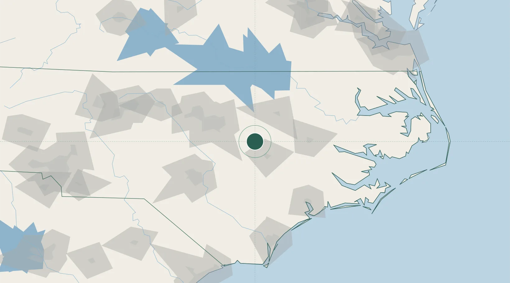
North Carolina
Population
1,450
Time zone
America/New_York
Elevation
59 m
Location
Nearby Logistics Neighbours
Cities
- 1Pine Level, Johnston13 km
- 2Middlesex23 km
- 3Four Oaks31 km
- 4Elm City34 km
- 5Knightdale37 km
Ports
- 1Washington98 km
- 2New Bern112 km
- 3Plymouth129 km
- 4Belhaven137 km
- 5Edenton146 km
Airports
Trade Zones
- 1FTZ No. 214 Lenoir County46 km
- 2FTZ No. 093 Raleigh Durham78 km
- 3FTZ No. 230 Piedmont Triad Area194 km
- 4FTZ No. 020 Suffolk204 km
- 5FTZ No. 207 Richmond222 km
DatabookThe Record of Consolidated Knowledge
United States beyond logistics?