UN/LOCODE hub · United States
USGGL
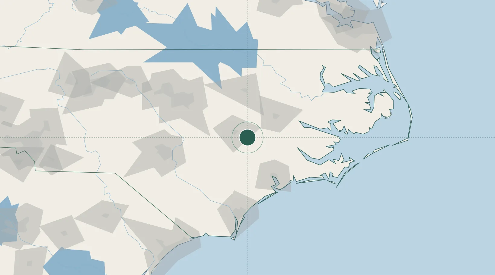
La Grange
35.3000°, -77.7833°
2,804
Population
3
Transport functions
Transport Functions
Rail
Road
Multimodal
Hub Profile
Place type
Populated place
Region
North Carolina
Population
2,804
Time zone
America/New_York
Elevation
33 m
Location
Nearby Logistics Neighbours
Cities
- 1Pink Hill28 km
- 2Grifton33 km
- 3Hanrahan34 km
- 4Beulaville43 km
- 5Winterville43 km
Ports
- 1New Bern70 km
- 2Washington72 km
- 3Belhaven111 km
- 4Plymouth113 km
- 5Morehead City118 km
Airports
Trade Zones
- 1FTZ No. 214 Lenoir County14 km
- 2FTZ No. 093 Raleigh Durham122 km
- 3FTZ No. 020 Suffolk210 km
- 4FTZ No. 230 Piedmont Triad Area235 km
- 5FTZ No. 207 Richmond248 km
DatabookThe Record of Consolidated Knowledge
United States beyond logistics?