Transport Functions
Road
Multimodal
Hub Profile
Place type
Populated place
Region
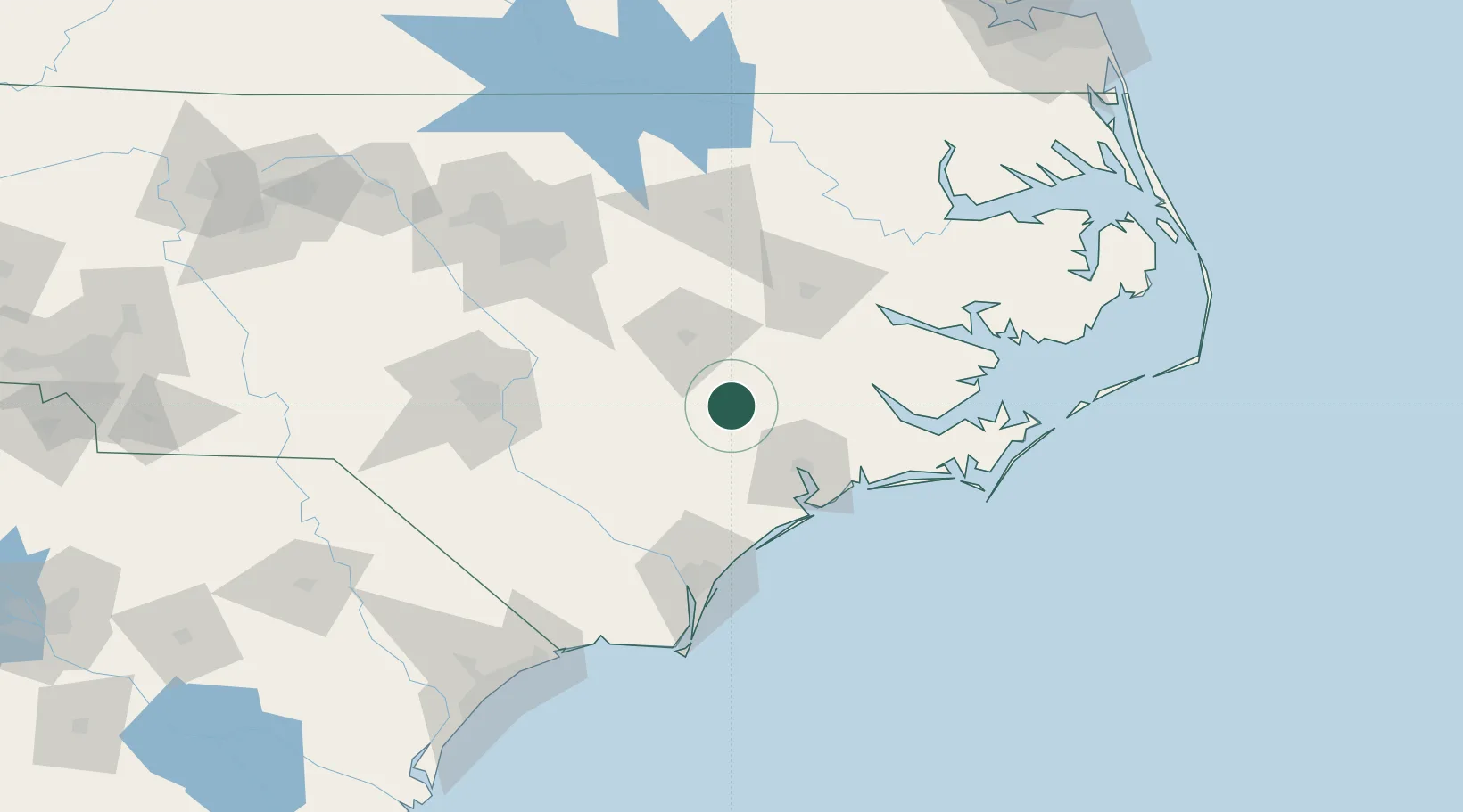
North Carolina
Population
540
Time zone
America/New_York
Elevation
41 m
Location
Nearby Logistics Neighbours
Cities
- 1Beulaville15 km
- 2La Grange28 km
- 3Grifton46 km
- 4Hanrahan48 km
- 5Midway Park53 km
Ports
- 1New Bern64 km
- 2Washington84 km
- 3Wilmington93 km
- 4Wrightsville93 km
- 5Morehead City103 km
Airports
Trade Zones
- 1FTZ No. 214 Lenoir County23 km
- 2FTZ No. 093 Raleigh Durham141 km
- 3FTZ No. 020 Suffolk233 km
- 4FTZ No. 230 Piedmont Triad Area251 km
- 5FTZ No. 207 Richmond276 km
DatabookThe Record of Consolidated Knowledge
United States beyond logistics?