Transport Functions
Road
Multimodal
Hub Profile
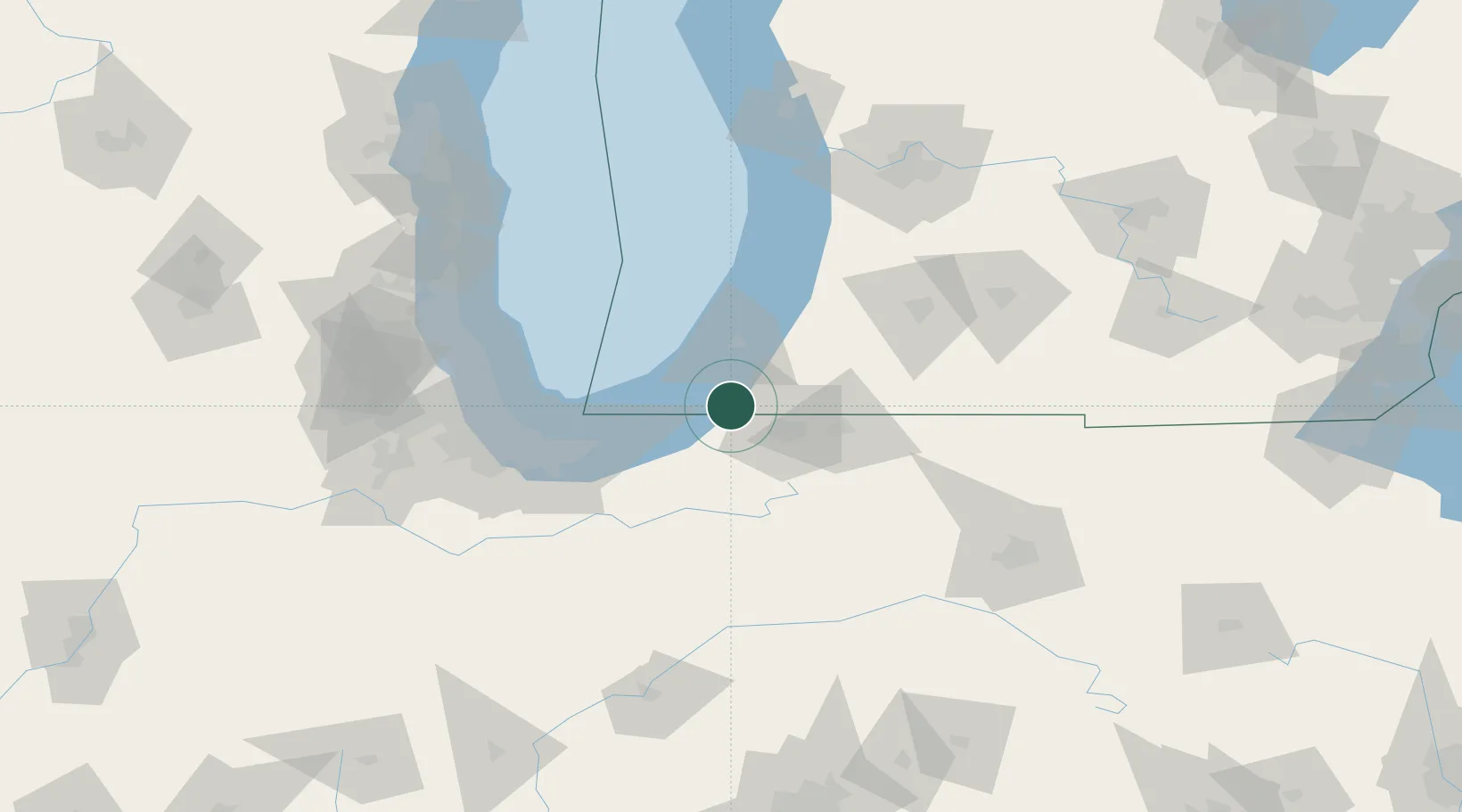
Place type
Populated place
Region
Michigan
Population
532
Time zone
America/Detroit
Elevation
204 m
Location
Nearby Logistics Neighbours
Cities
- 1Three Oaks9 km
- 2Rolling Prairie18 km
- 3Berrien Springs20 km
- 4Saint Joseph32 km
- 5Granger32 km
Ports
- 1Michigan City34 km
- 2St Joseph35 km
- 3South Haven69 km
- 4Gary72 km
- 5Indiana Harbor79 km
Airports
Trade Zones
- 1FTZ No. 125 South Bend19 km
- 2FTZ No. 152 Burns Harbor58 km
- 3FTZ No. 022 Chicago114 km
- 4FTZ No. 043 Battle Creek117 km
- 5FTZ No. 182 Fort Wayne129 km
DatabookThe Record of Consolidated Knowledge
United States beyond logistics?