UN/LOCODE hub · United States
USOI7
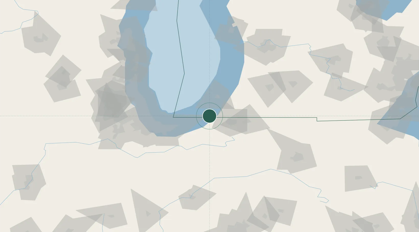
Three Oaks
41.7833°, -86.6000°
1,579
Population
2
Transport functions
Transport Functions
Port
Road
Hub Profile
Place type
Populated place
Region
Michigan
Population
1,579
Time zone
America/Detroit
Elevation
211 m
Location
Nearby Logistics Neighbours
Cities
- 1Galien9 km
- 2Rolling Prairie13 km
- 3Sawyer26 km
- 4Berrien Springs28 km
- 5Kingsbury29 km
Ports
- 1Michigan City26 km
- 2St Joseph38 km
- 3Gary64 km
- 4Indiana Harbor70 km
- 5South Haven73 km
Airports
Trade Zones
- 1FTZ No. 125 South Bend24 km
- 2FTZ No. 152 Burns Harbor50 km
- 3FTZ No. 022 Chicago106 km
- 4FTZ No. 292 Lake County122 km
- 5FTZ No. 043 Battle Creek125 km
DatabookThe Record of Consolidated Knowledge
United States beyond logistics?