Transport Functions
Port
Rail
Road
Multimodal
Hub Profile
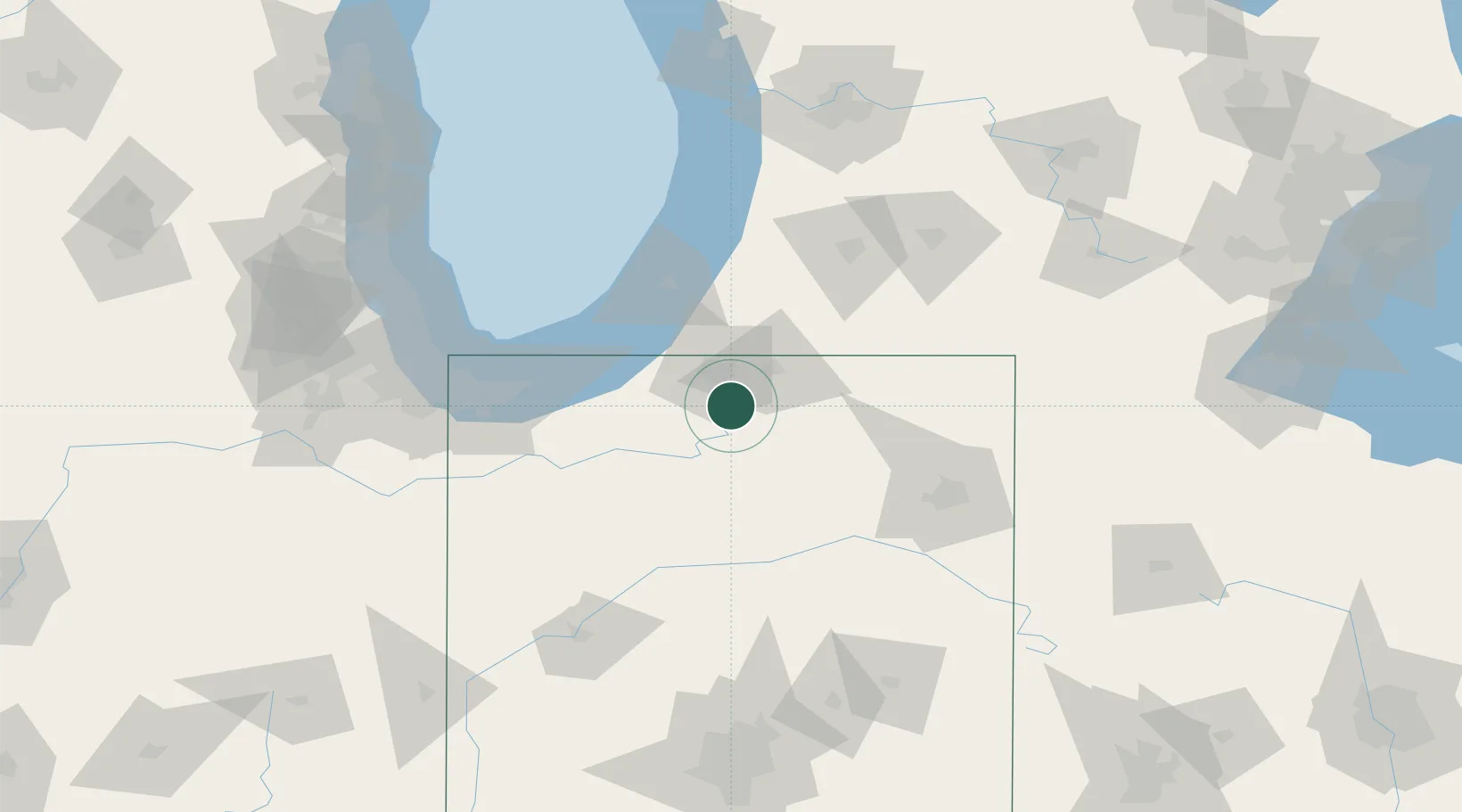
Place type
Populated place
Region
Indiana
Time zone
America/Indiana/Indianapolis
Elevation
253 m
Location
Nearby Logistics Neighbours
Cities
- 1Wakarusa13 km
- 2Granger26 km
- 3Walkerton27 km
- 4New Paris29 km
- 5Millersburg40 km
Ports
- 1Michigan City66 km
- 2St Joseph72 km
- 3Gary98 km
- 4South Haven99 km
- 5Indiana Harbor107 km
Airports
Trade Zones
- 1FTZ No. 125 South Bend23 km
- 2FTZ No. 152 Burns Harbor84 km
- 3FTZ No. 182 Fort Wayne88 km
- 4FTZ No. 043 Battle Creek117 km
- 5FTZ No. 022 Chicago146 km
DatabookThe Record of Consolidated Knowledge
United States beyond logistics?