UN/LOCODE hub · United States
USRPA
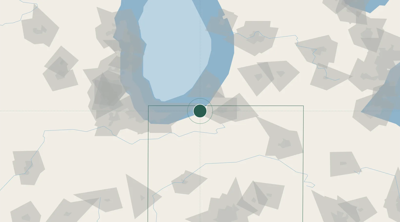
Rolling Prairie
41.6667°, -86.6167°
582
Population
3
Transport functions
Transport Functions
Rail
Road
Multimodal
Hub Profile
Place type
Populated place
Region
Indiana
Population
582
Time zone
America/Chicago
Elevation
252 m
Location
Nearby Logistics Neighbours
Cities
- 1Three Oaks13 km
- 2Kingsbury16 km
- 3Galien18 km
- 4Walkerton25 km
- 5Sawyer33 km
Ports
- 1Michigan City25 km
- 2St Joseph51 km
- 3Gary60 km
- 4Indiana Harbor68 km
- 5Calumet Harbor75 km
Airports
Trade Zones
- 1FTZ No. 125 South Bend23 km
- 2FTZ No. 152 Burns Harbor45 km
- 3FTZ No. 022 Chicago106 km
- 4FTZ No. 292 Lake County128 km
- 5FTZ No. 182 Fort Wayne128 km
DatabookThe Record of Consolidated Knowledge
United States beyond logistics?