UN/LOCODE hub · United States
USZGR
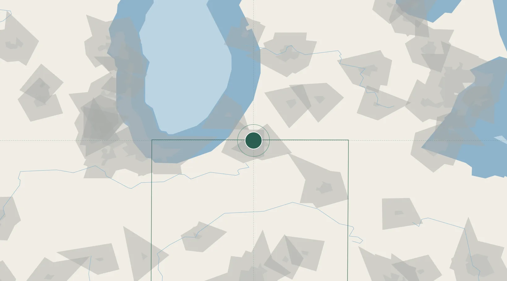
Granger
41.7500°, -86.1167°
30,465
Population
3
Transport functions
Transport Functions
Rail
Road
Multimodal
Hub Profile
Place type
Populated place
Region
Indiana
Population
30,465
Time zone
America/Indiana/Indianapolis
Elevation
244 m
Location
Nearby Logistics Neighbours
Cities
- 1Cassopolis19 km
- 2Wakarusa26 km
- 3Wyatt26 km
- 4Berrien Springs27 km
- 5Mottville31 km
Ports
- 1St Joseph51 km
- 2Michigan City65 km
- 3South Haven74 km
- 4Gary102 km
- 5Indiana Harbor110 km
Airports
Trade Zones
- 1FTZ No. 125 South Bend21 km
- 2FTZ No. 152 Burns Harbor88 km
- 3FTZ No. 043 Battle Creek95 km
- 4FTZ No. 182 Fort Wayne101 km
- 5FTZ No. 022 Chicago146 km
DatabookThe Record of Consolidated Knowledge
United States beyond logistics?