Transport Functions
Port
Road
Hub Profile
Place type
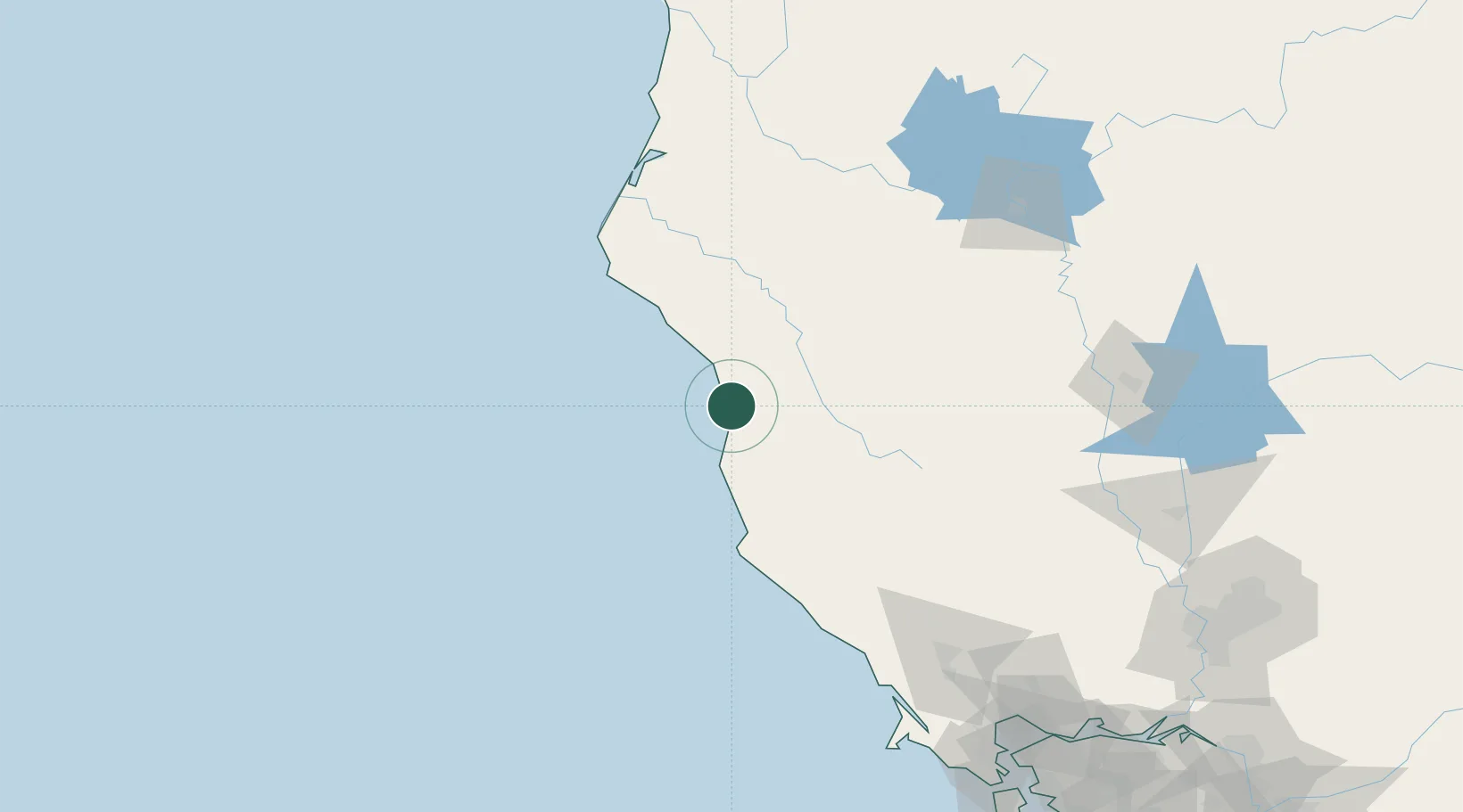
Populated place
Region
California
Time zone
America/Los_Angeles
Elevation
38 m
Location
Nearby Logistics Neighbours
Cities
- 1Laytonville26 km
- 2Redwood Valley65 km
- 3Philo71 km
- 4Point Arena82 km
- 5Hopland93 km
Ports
- 1Fort Bragg21 km
- 2Fields Landing126 km
- 3Eureka135 km
- 4Samoa136 km
- 5Bodega Bay157 km
Airports
Trade Zones
- 1FTZ No. 248 Eureka134 km
- 2FTZ No. 143 West Sacramento226 km
- 3FTZ No. 003 San Francisco236 km
- 4FTZ No. 056 Oakland241 km
- 5FTZ No. 231 Stockton282 km
DatabookThe Record of Consolidated Knowledge
United States beyond logistics?