UN/LOCODE hub · United States
USID4
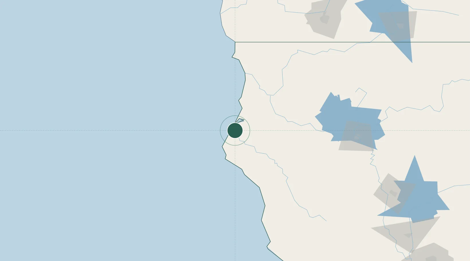
Indianola
40.6833°, -124.2167°
823
Population
1
Transport functions
Transport Functions
Multimodal
Hub Profile
Place type
Populated place
Region
California
Population
823
Time zone
America/Los_Angeles
Elevation
13 m
Location
Nearby Logistics Neighbours
Cities
- 1Samoa11 km
- 2McKinleyville31 km
- 3McClellan Place71 km
- 4Westport123 km
- 5Laytonville128 km
Ports
- 1Fields Landing4 km
- 2Eureka13 km
- 3Samoa15 km
- 4Crescent City119 km
- 5Fort Bragg141 km
Airports
Trade Zones
- 1FTZ No. 248 Eureka14 km
- 2FTZ No. 132 Coos County299 km
- 3FTZ No. 143 West Sacramento328 km
- 4FTZ No. 003 San Francisco357 km
- 5FTZ No. 056 Oakland361 km
DatabookThe Record of Consolidated Knowledge
United States beyond logistics?