Transport Functions
Road
Multimodal
Hub Profile
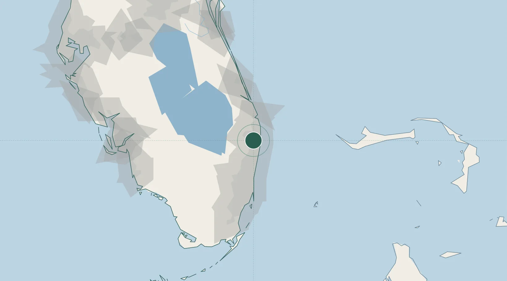
Place type
Populated place
Region
Florida
Time zone
America/New_York
Elevation
2 m
Location
Nearby Logistics Neighbours
Cities
- 1Royal Palm Beach12 km
- 2Lake Park21 km
- 3Palm Beach Gardens22 km
- 4Pembroke Pines24 km
- 5Lighthouse Point39 km
Ports
- 1Palm Beach19 km
- 2Port Everglades58 km
- 3Miami93 km
- 4Fort Pierce96 km
- 5Freeport135 km
Airports
Trade Zones
DatabookThe Record of Consolidated Knowledge
United States beyond logistics?