UN/LOCODE hub · United States
USP2P
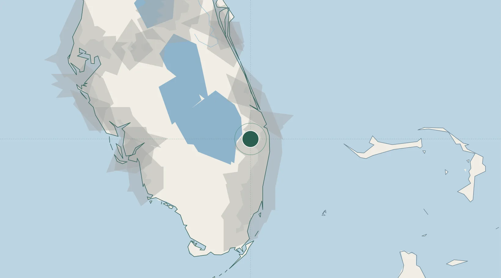
Pembroke Pines
26.7667°, -80.3000°
166,611
Population
2
Transport functions
Transport Functions
Road
Multimodal
Hub Profile
Place type
Populated place
Region
Florida
Population
166,611
Time zone
America/New_York
Elevation
2 m
Location
Nearby Logistics Neighbours
Cities
- 1Royal Palm Beach11 km
- 2Palm Beach Gardens18 km
- 3Lake Park24 km
- 4Greenacres24 km
- 5Palm City45 km
Ports
- 1Palm Beach25 km
- 2Port Everglades76 km
- 3Fort Pierce78 km
- 4Miami110 km
- 5Freeport153 km
Airports
Trade Zones
DatabookThe Record of Consolidated Knowledge
United States beyond logistics?