UN/LOCODE hub · United States
USFPB
Royal Palm Beach
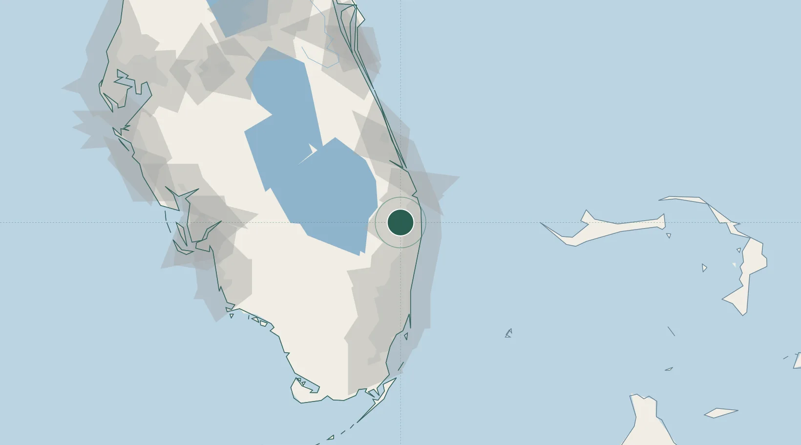
26.7000°, -80.2167°
37,633
Population
1
Transport functions
Transport Functions
Multimodal
Hub Profile
Place type
Populated place
Region
Florida
Population
37,633
Time zone
America/New_York
Elevation
5 m
Location
Nearby Logistics Neighbours
Cities
- 1Pembroke Pines11 km
- 2Greenacres12 km
- 3Palm Beach Gardens15 km
- 4Lake Park19 km
- 5Lighthouse Point50 km
Ports
- 1Palm Beach18 km
- 2Port Everglades68 km
- 3Fort Pierce86 km
- 4Miami102 km
- 5Freeport144 km
Airports
Trade Zones
DatabookThe Record of Consolidated Knowledge
United States beyond logistics?