Channel & Berth Profile
Pilotage, Tugs & Services
Pilotage compulsoryYES
Pilotage availableYES
Pilotage advisableYES
Tug assistanceYES
Salvage tugsNO
Potable waterYES
Diesel bunkersYES
MedicalYES
Facilities & Capabilities
Container—
Ro-Ro—
Liquid bulk—
Dry bulk—
Oil terminal—
Break bulk—
Dry dockNO
RepairsNO
BunkeringYES
Rail linkYES
Dangerous cargo—
ISPS security—
Harbour Specifications
Harbour size
Medium
Harbour type
River (Tide Gates)
Shelter
Excellent
Water body
North Sea; North Atlantic Ocean
Tidal range
6 m
Overhead limit
Yes
Pilotage
Yes
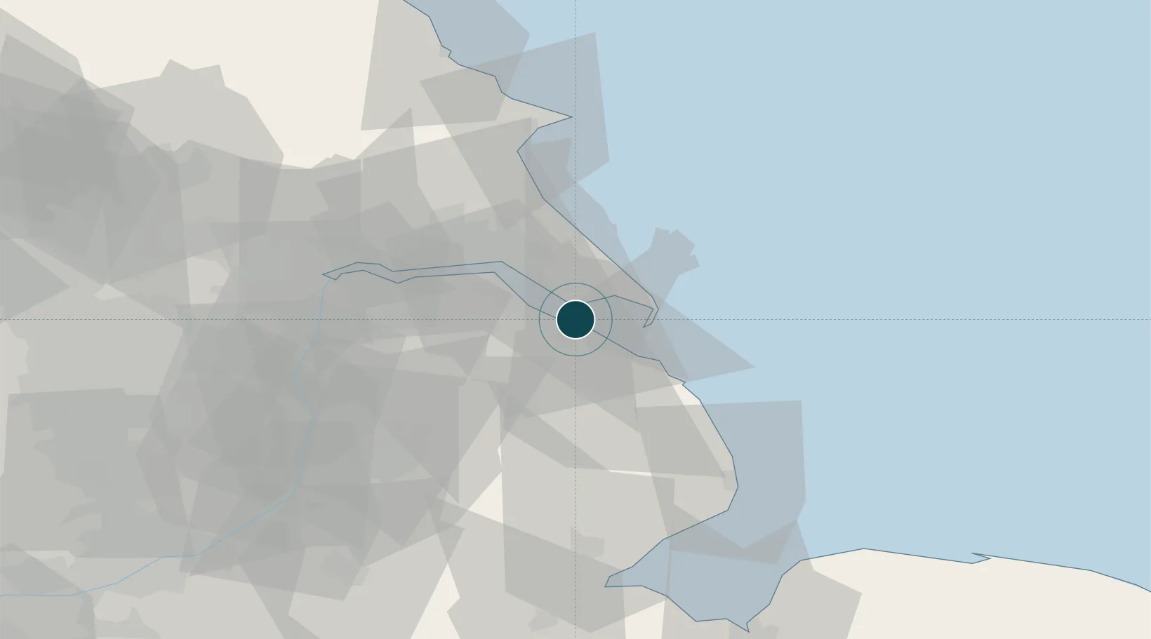
Location
Nearby Logistics Neighbours
Ports
- 1Immingham10 km
- 2Kingston Upon Hull23 km
- 3New Holland24 km
- 4Goole52 km
- 5Bridlington56 km
Cities
- 1Immingham10 km
- 2Barnoldby le Beck10 km
- 3South Killingholme11 km
- 4Tetney Terminal12 km
- 5Killingholme14 km
Airports
- 1Humberside Airport19 km
- 2RAF Coningsby55 km
- 3RAF Waddington55 km
- 4RAF Cranwell68 km
- 5RAF Barkston Heath77 km
Trade Zones
DatabookThe Record of Consolidated Knowledge
United Kingdom beyond logistics?