UN/LOCODE hub · United Kingdom
GBNHO
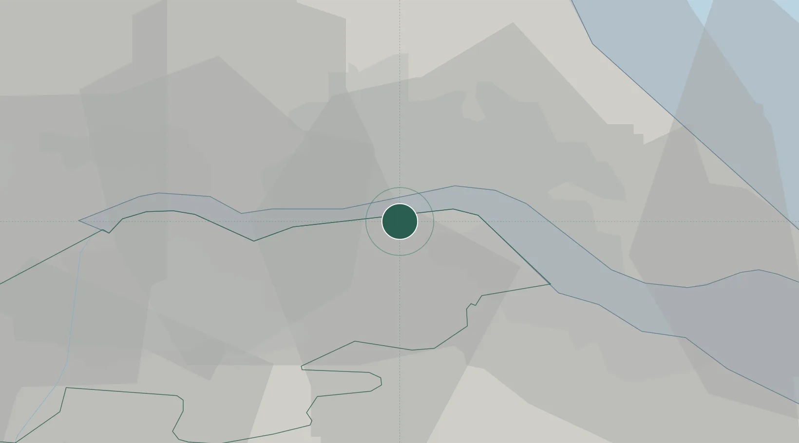
New Holland
53.7000°, -0.3667°
970
Population
1
Transport functions
Transport Functions
Port
Hub Profile
Place type
Populated place
Region
England
Population
970
Time zone
Europe/London
Elevation
4 m
Location
Nearby Logistics Neighbours
Cities
- 1Barrow-upon-Humber2 km
- 2Goxhill4 km
- 3Hessle/Hull5 km
- 4Binbrook6 km
- 5Barton upon Humber6 km
Ports
- 1Kingston Upon Hull8 km
- 2Immingham13 km
- 3Grimsby24 km
- 4Goole31 km
- 5Howdendyke34 km
Airports
- 1Humberside Airport14 km
- 2Leeds East Airport56 km
- 3RAF Waddington60 km
- 4RAF Coningsby69 km
- 5RAF Cranwell75 km
Trade Zones
DatabookThe Record of Consolidated Knowledge
United Kingdom beyond logistics?