Medium airport · United Kingdom
RAF ConingsbyEGXC
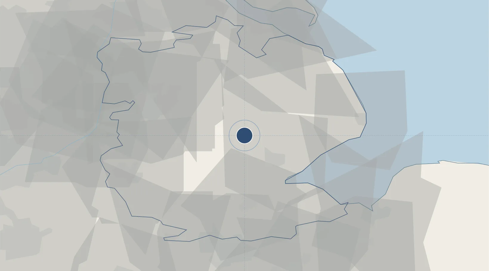
53.0930°, -0.1660°
9,003 ft
Longest runway
1
Runways
25 ft
Elevation
Runway & Layout

Radio Frequencies
ATIS
280.3 MHz
TWR
124.675 MHz
GND
122.1 MHz
APP
120.8 MHz
APP
282.72 MHz
DEP
376.35 MHz
CAC
27.777 MHz
grn
279.7 MHz
OPS
23.467 MHz
Navaids
CGY TACAN Coningsby 111.10 MHz
Runways · 1
| Runway | Dimensions | Surface | True heading | Lit |
|---|---|---|---|---|
| 07/25 | 9,003 × 187ft | Concrete | 072° | ✓ |
Airport Specifications
IATA code
QCY
ICAO code
EGXC
Airport class
Medium airport
Scheduled service
No
Runway surface
Concrete
Served city
Lincoln, Lincolnshire
Location
Nearby Logistics Neighbours
Airports
- 1RAF Cranwell23 km
- 2RAF Waddington25 km
- 3RAF Barkston Heath30 km
- 4Humberside Airport55 km
- 5RAF Wittering57 km
Cities
- 1Crowland7 km
- 2Heckington15 km
- 3Ruskington15 km
- 4Crown Dry-Dock19 km
- 5Wainfleet Bank25 km
Ports
- 1Boston17 km
- 2Wisbech52 km
- 3King's Lynn54 km
- 4Grimsby55 km
- 5Immingham60 km
Trade Zones
DatabookThe Record of Consolidated Knowledge
United Kingdom beyond logistics?