Transport Functions
Port
Hub Profile
Place type
Urban district
Region
England
Time zone
Europe/London
Elevation
3 m
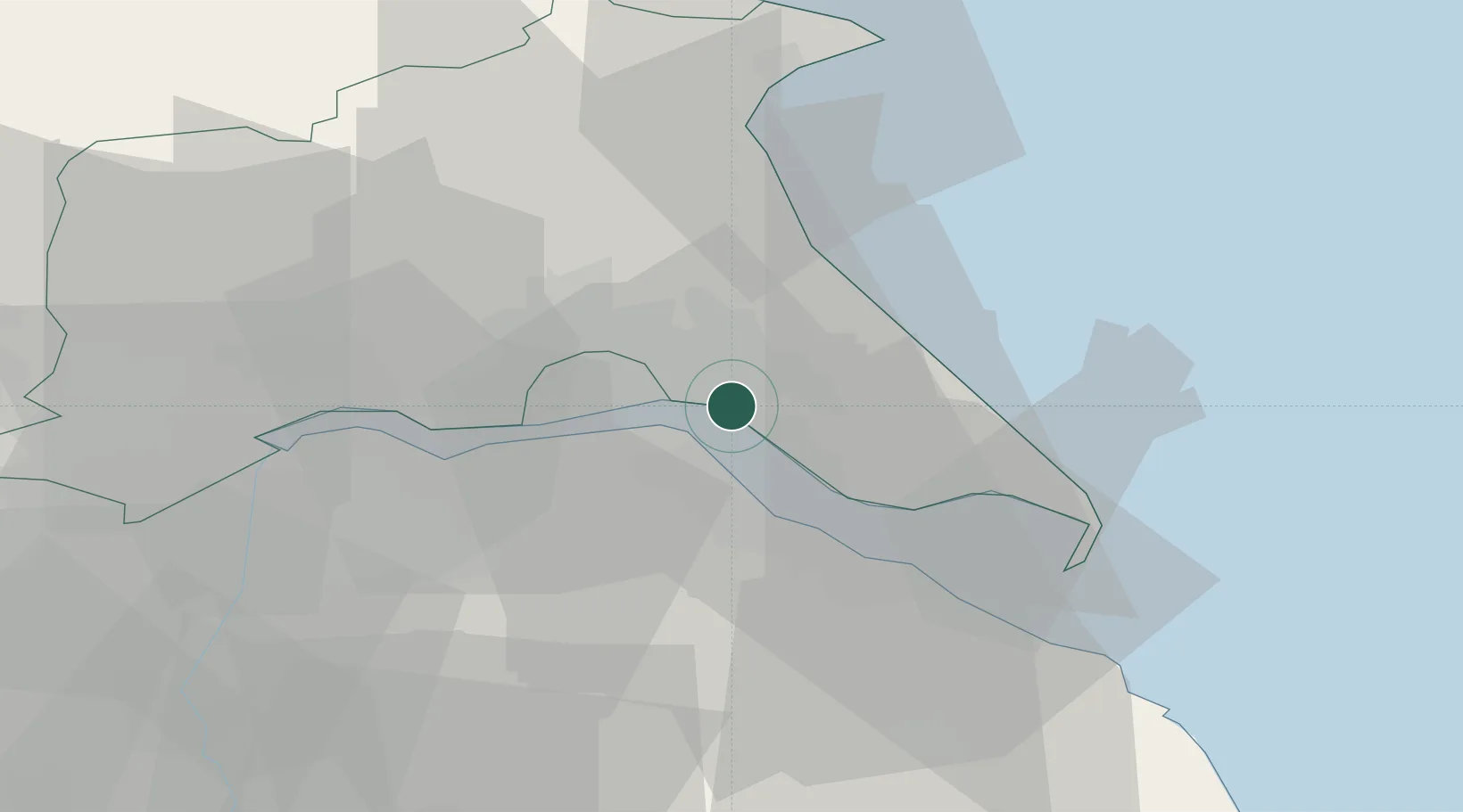
Location
Nearby Logistics Neighbours
Cities
- 1Hull3 km
- 2Hedon3 km
- 3Binbrook5 km
- 4Burstwick7 km
- 5New Holland10 km
Ports
- 1Kingston Upon Hull4 km
- 2New Holland10 km
- 3Immingham11 km
- 4Grimsby20 km
- 5Bridlington39 km
Airports
- 1Humberside Airport19 km
- 2Leeds East Airport64 km
- 3RAF Waddington66 km
- 4RAF Coningsby71 km
- 5RAF Cranwell80 km
Trade Zones
DatabookThe Record of Consolidated Knowledge
United Kingdom beyond logistics?