Transport Functions
Multimodal
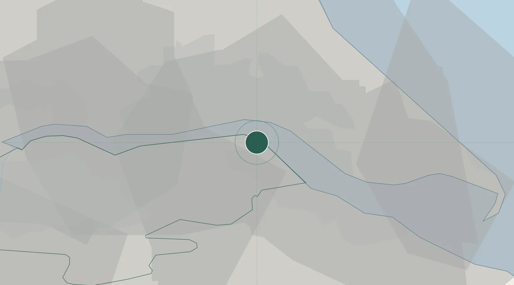
Hub Profile
Place type
Populated place
Region
England
Population
892
Time zone
Europe/London
Elevation
77 m
Location
Nearby Logistics Neighbours
Cities
- 1Salt End5 km
- 2Goxhill5 km
- 3New Holland6 km
- 4Hull6 km
- 5Barrow-upon-Humber7 km
Ports
- 1New Holland6 km
- 2Kingston Upon Hull6 km
- 3Immingham9 km
- 4Grimsby19 km
- 5Goole36 km
Airports
- 1Humberside Airport14 km
- 2RAF Waddington62 km
- 3Leeds East Airport62 km
- 4RAF Coningsby68 km
- 5RAF Cranwell76 km
Trade Zones
DatabookThe Record of Consolidated Knowledge
United Kingdom beyond logistics?