UN/LOCODE hub · United Kingdom
GBHSE

Hessle/Hull

53.7167°, -0.4333°
3
Transport functions

Transport Functions

Port
Rail
Road
UN/LOCODE

Hub Profile

Region
KHL
GeoNames

Location

Location of GBHSE
Natural Earth 10m (public domain) · KHL · GBHSE · 53.72, -0.43GoogleOSMYandex

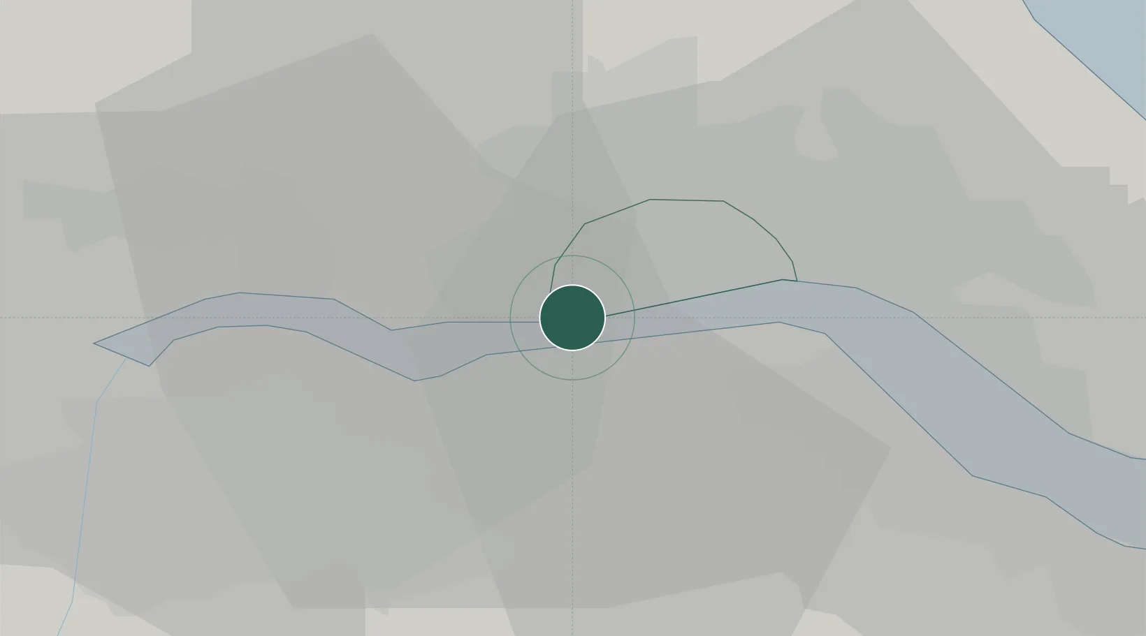
Nearby Logistics Neighbours

Cities
  1. 1North Ferriby4 km
  2. 2New Holland5 km
  3. 3Barrow-upon-Humber5 km
  4. 4Barton upon Humber6 km
  5. 5Goxhill9 km
Nearest neighbours — logibook spatial index (haversine) over the source coordinates
Ports
  1. 1New Holland5 km
  2. 2Kingston Upon Hull11 km
  3. 3Immingham18 km
  4. 4Goole26 km
  5. 5Grimsby28 km
Nearest neighbours — logibook spatial index (haversine) over the source coordinates
Airports
  1. 1Humberside Airport17 km
  2. 2Leeds East Airport52 km
  3. 3RAF Waddington62 km
  4. 4RAF Coningsby72 km
  5. 5RAF Cranwell77 km
Nearest neighbours — logibook spatial index (haversine) over the source coordinates
Trade Zones
  1. 1Humber Enterprise Zone7 km
  2. 2Humberside Free Zone10 km
  3. 3York Central Enterprise Zone51 km
  4. 4Aire Valley Leeds Enterprise Zone69 km
  5. 5Sheffield City Region Enterprise Zone78 km
Nearest neighbours — logibook spatial index (haversine) over the source coordinates
DatabookThe Record of Consolidated Knowledge
United Kingdom beyond logistics?
Browse databook

All Sources

LocationsUN/LOCODE
UN/LOCODE — free
Portsthe NGA World Port Index
Public domain (US gov)
AirportsOurAirports
Public domain
Trade Zonesthe World Bank SEZ database
CC BY 4.0
Trade ZonesOpen Zone Map
CC BY
← United Kingdom locations