UN/LOCODE hub · United Kingdom
GBHUL
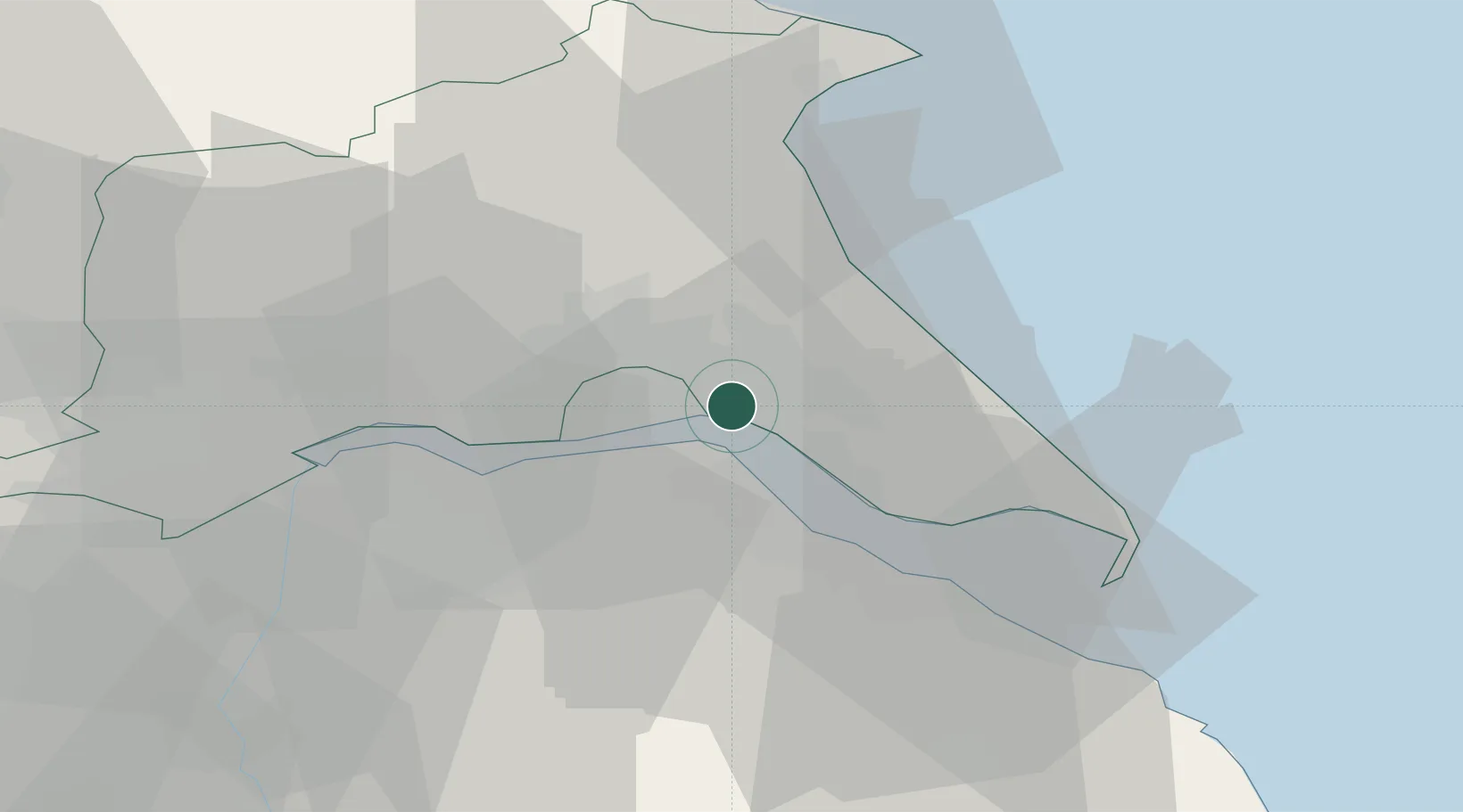
Hull
53.7493°, -0.2722°
1
Transport functions
1
Container terminals
Transport Functions
Port
Hub Profile
Region
ERY
Logistics facilities
4
Container terminals
1
Location
Nearby Logistics Neighbours
Cities
- 1Salt End3 km
- 2Binbrook6 km
- 3Hedon6 km
- 4New Holland8 km
- 5Burstwick9 km
Ports
- 1New Holland8 km
- 2Immingham14 km
- 3Grimsby23 km
- 4Goole37 km
- 5Bridlington38 km
Airports
- 1Humberside Airport20 km
- 2Leeds East Airport61 km
- 3RAF Waddington67 km
- 4RAF Coningsby73 km
- 5RAF Cranwell82 km
Trade Zones
DatabookThe Record of Consolidated Knowledge
United Kingdom beyond logistics?