Transport Functions
Port
Hub Profile
Region
DUR
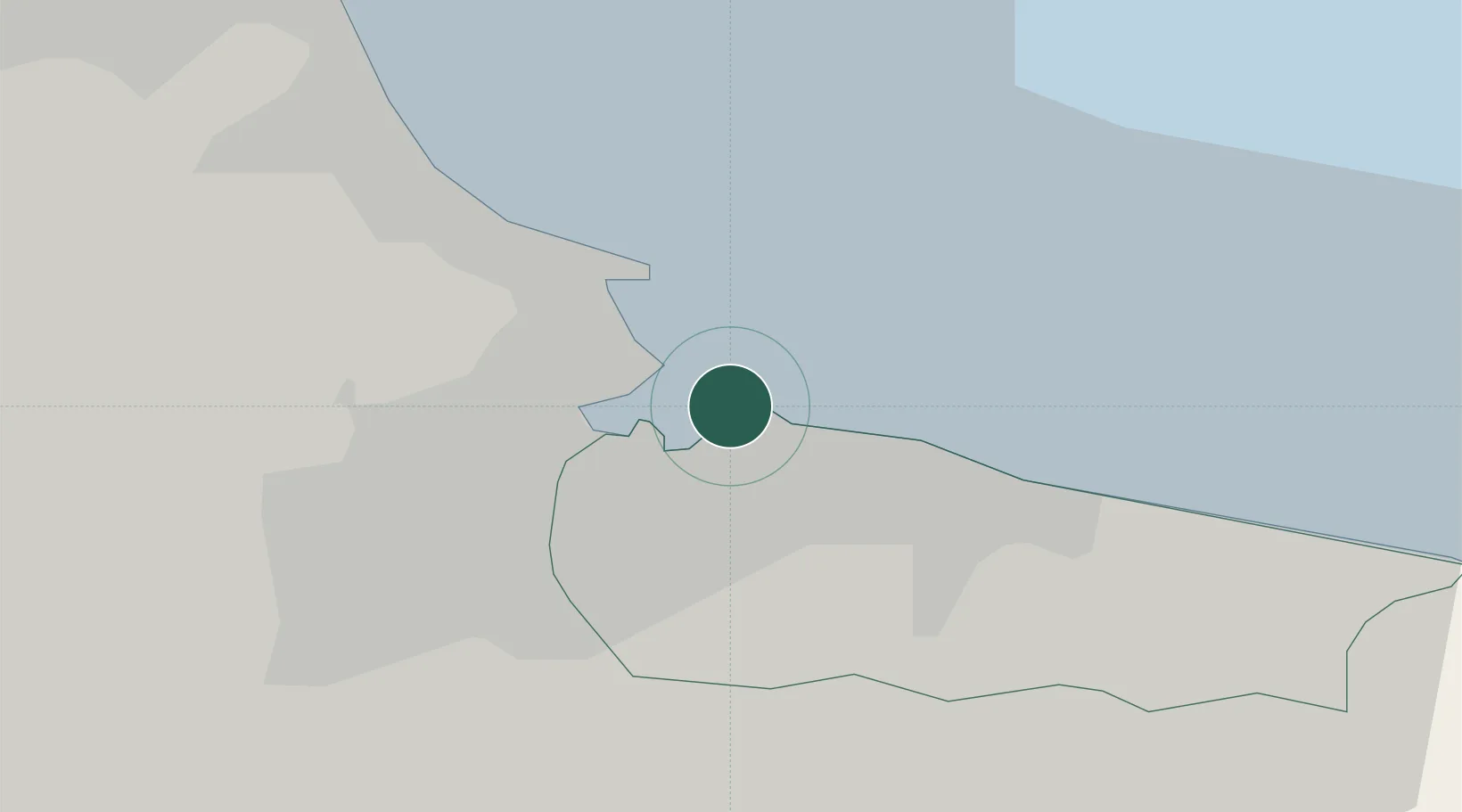
Location
Nearby Logistics Neighbours
Cities
- 1Teesport4 km
- 2Middlesbrough6 km
- 3Greatham6 km
- 4Redcar7 km
- 5Hartlepool8 km
Ports
- 1Teesport2 km
- 2Hartlepool8 km
- 3Seaham25 km
- 4Sunderland35 km
- 5Whitby37 km
Airports
- 1Teesside International Airport24 km
- 2RAF Leeming46 km
- 3RAF Topcliffe50 km
- 4Newcastle International Airport57 km
- 5Leeds East Airport89 km
Trade Zones
DatabookThe Record of Consolidated Knowledge
United Kingdom beyond logistics?