Transport Functions
Rail
Road
Hub Profile
Place type
Populated place
Region
England
Time zone
Europe/London
Elevation
71 m
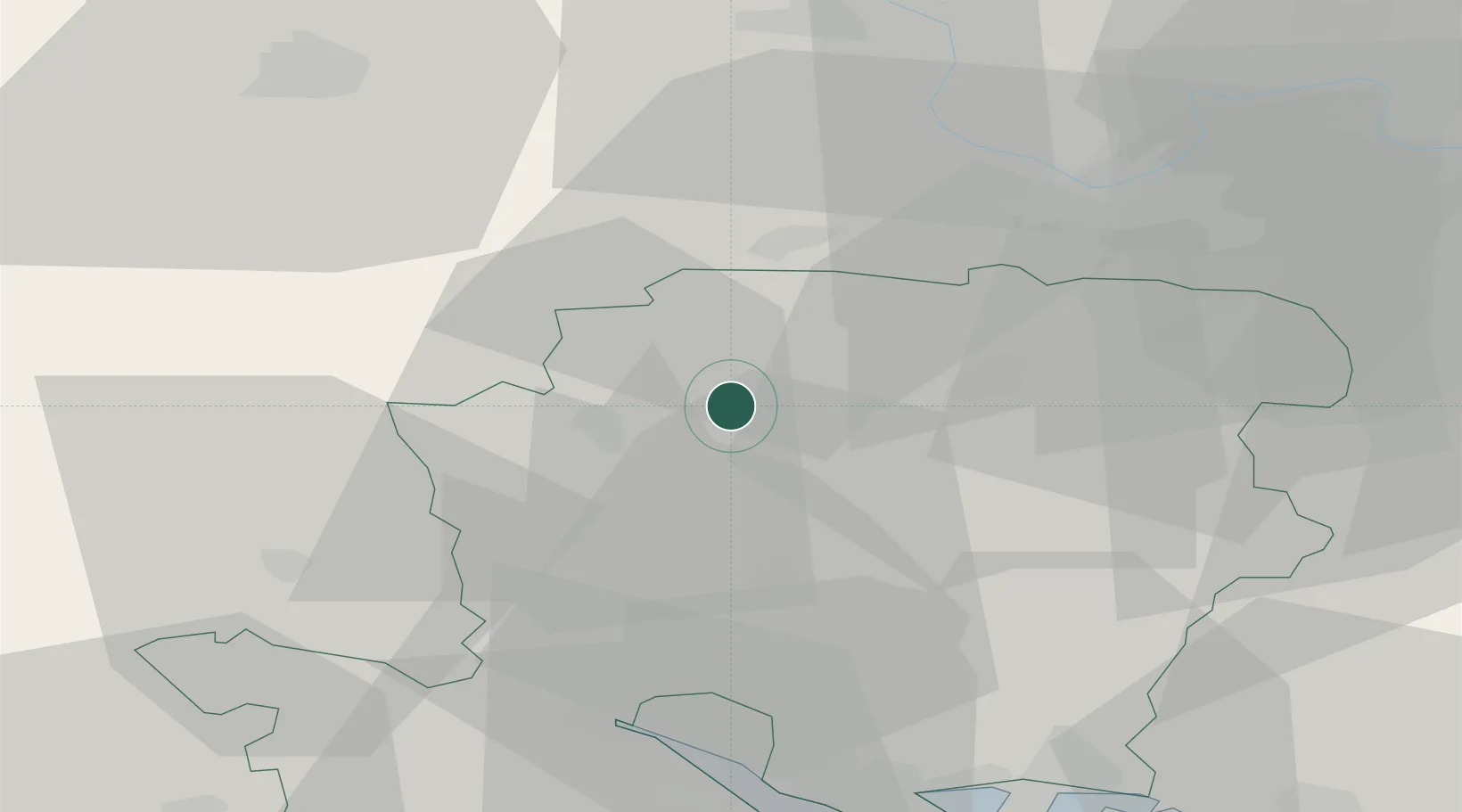
Location
Nearby Logistics Neighbours
Cities
- 1Ramsdell17 km
- 2Little Somborne18 km
- 3Ludgershall19 km
- 4Ashley20 km
- 5Chineham21 km
Ports
- 1Southampton37 km
- 2Fawley Marine Terminal46 km
- 3Portsmouth Harbour51 km
- 4Cowes Harbour52 km
- 5Yarmouth Harbour60 km
Airports
- 1Lasham Airfield23 km
- 2RAF Odiham28 km
- 3MoD Boscombe Down29 km
- 4Southampton Airport32 km
- 5Blackbushe Airport36 km
Trade Zones
DatabookThe Record of Consolidated Knowledge
United Kingdom beyond logistics?