UN/LOCODE hub · United Kingdom
GBNAD
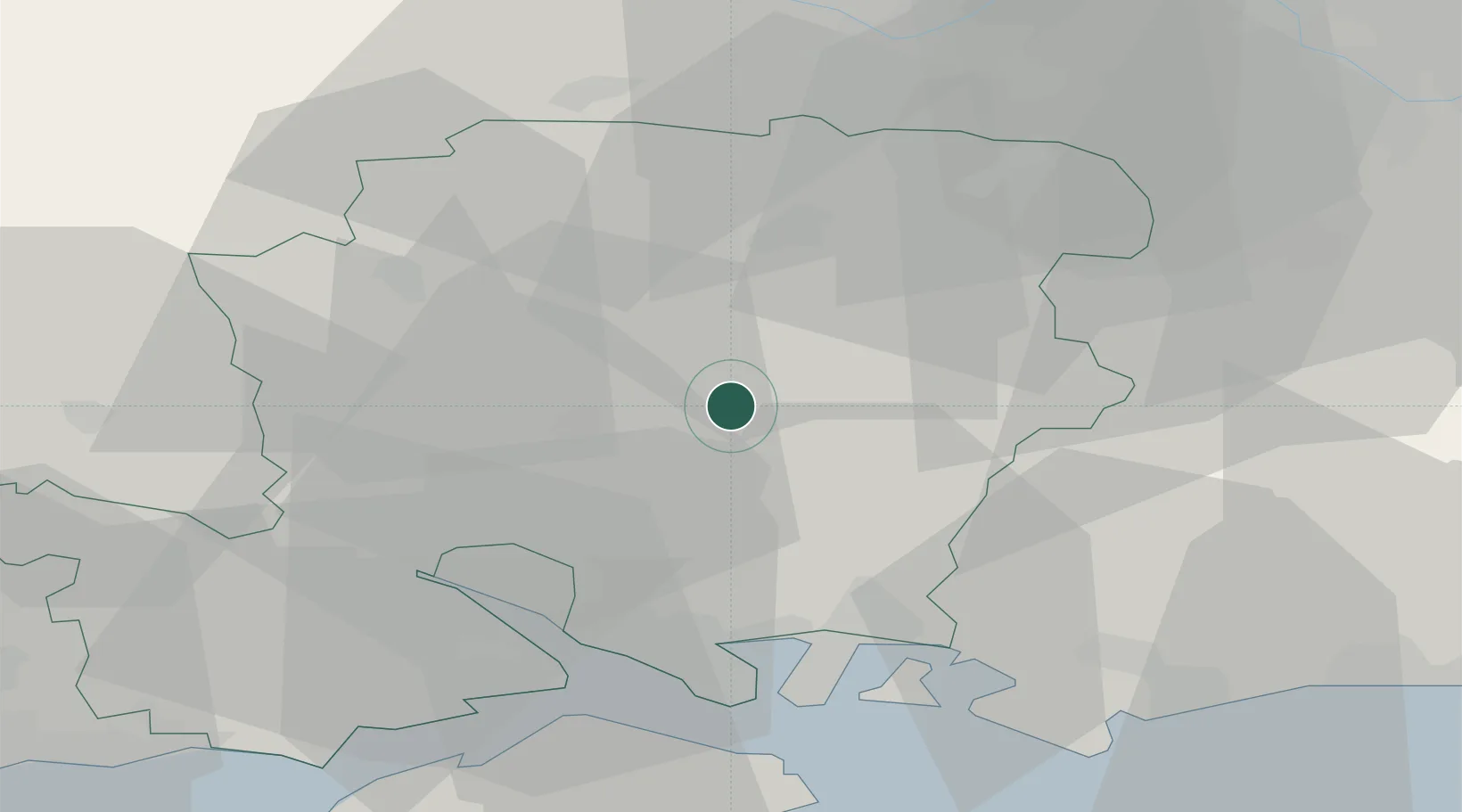
Alresford
51.0833°, -1.1500°
2,009
Population
1
Transport functions
Transport Functions
Multimodal
Hub Profile
Place type
Populated place
Region
England
Population
2,009
Time zone
Europe/London
Elevation
29 m
Location
Nearby Logistics Neighbours
Cities
- 1Ropley5 km
- 2Bramdean6 km
- 3Droxford15 km
- 4Colden Common15 km
- 5Clanfield20 km
Ports
- 1Southampton27 km
- 2Portsmouth Harbour32 km
- 3Fawley Marine Terminal32 km
- 4Cowes Harbour37 km
- 5Yarmouth Harbour49 km
Airports
- 1Lasham Airfield14 km
- 2Southampton Airport21 km
- 3RAF Odiham22 km
- 4Farnborough Airport34 km
- 5Blackbushe Airport34 km
Trade Zones
DatabookThe Record of Consolidated Knowledge
United Kingdom beyond logistics?