UN/LOCODE hub · United Kingdom
GBCCO
Colden Common
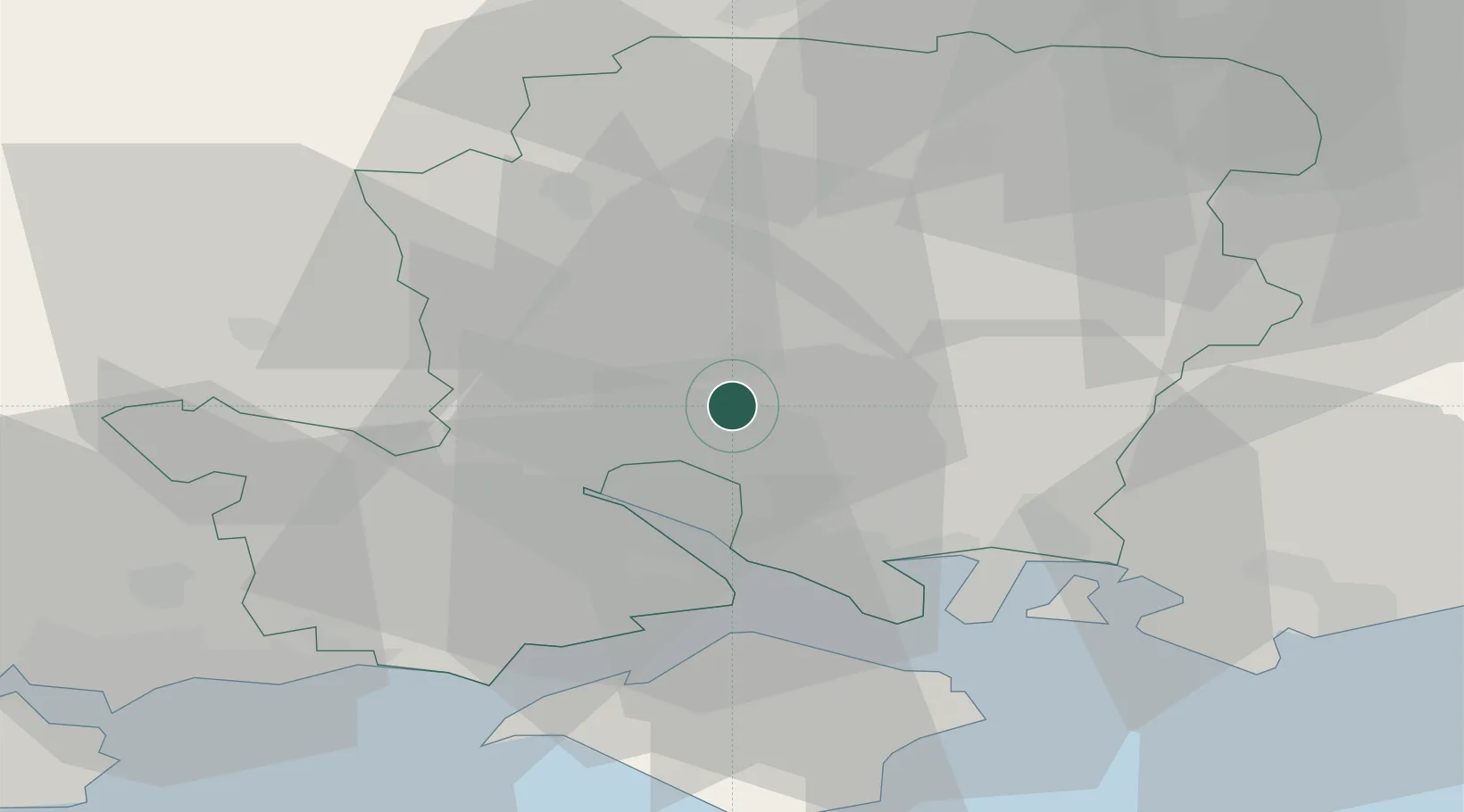
51.0000°, -1.3167°
3,419
Population
2
Transport functions
Transport Functions
Road
Multimodal
Hub Profile
Place type
Populated place
Region
England
Population
3,419
Time zone
Europe/London
Elevation
39 m
Location
Nearby Logistics Neighbours
Cities
- 1North Baddesley9 km
- 2Ashley12 km
- 3Southampton12 km
- 4Little Somborne13 km
- 5Burridge14 km
Ports
- 1Southampton13 km
- 2Fawley Marine Terminal20 km
- 3Cowes Harbour26 km
- 4Portsmouth Harbour27 km
- 5Yarmouth Harbour36 km
Airports
- 1Southampton Airport6 km
- 2Lasham Airfield29 km
- 3MoD Boscombe Down35 km
- 4RAF Odiham37 km
- 5Bournemouth Airport44 km
Trade Zones
DatabookThe Record of Consolidated Knowledge
United Kingdom beyond logistics?