Medium airport · United Kingdom

Blackbushe AirportEGLK
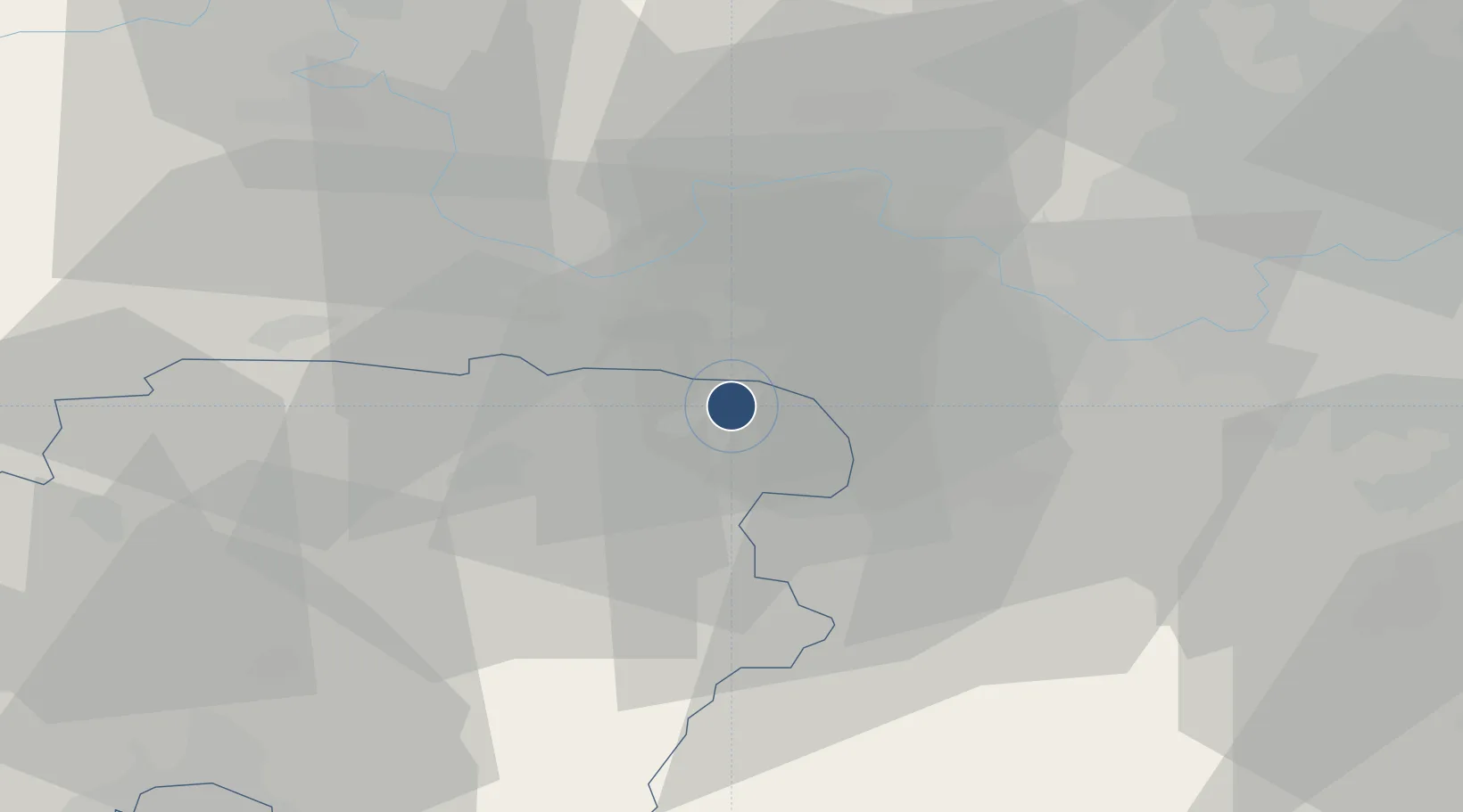
51.3239°, -0.8475°
4,380 ft
Longest runway
1
Runways
325 ft
Elevation

Runway & Layout

Blackbushe Airport runway & taxiway layout
Runway & taxiway layout — OpenStreetMap (ODbL) / OurAirports

Radio Frequencies

AAS
122.3 MHz
AFIS INFO
OurAirports

Navaids

BLC DME Blackbushe 116.20 MHz
BLK NDB Blackbushe 328 kHz
OurAirports

Runways · 1

RunwayDimensions SurfaceTrue headingLit
07/25 4,380 × 151ft Asphalt 072°
OurAirports

Airport Specifications

IATA code
BBS
OurAirports
ICAO code
EGLK
OurAirports
Airport class
Medium airport
OurAirports
Scheduled service
No
OurAirports
Runway surface
Asphalt
OurAirports
Served city
Camberley, Surrey
OurAirports

Location

Location of EGLK
Natural Earth 10m (public domain) · Hampshire · EGLK · 51.32, -0.85GoogleOSMYandex

Nearby Logistics Neighbours

Airports
  1. 1Farnborough Airport7 km
  2. 2RAF Odiham12 km
  3. 3Lasham Airfield20 km
  4. 4London Heathrow Airport32 km
  5. 5RAF Benson37 km
Nearest neighbours — logibook spatial index (haversine) over the source coordinates
Cities
  1. 1Hook2 km
  2. 2Frimley7 km
  3. 3Peasmarsh8 km
  4. 4Deepcut10 km
  5. 5Kenley11 km
Nearest neighbours — logibook spatial index (haversine) over the source coordinates
Ports
  1. 1London57 km
  2. 2Portsmouth Harbour61 km
  3. 3Southampton61 km
  4. 4Littlehampton Harbour64 km
  5. 5Fawley Marine Terminal66 km
Nearest neighbours — logibook spatial index (haversine) over the source coordinates
Trade Zones
  1. 1Thames Valley Business Growth Hub Berkshire12 km
  2. 2EZ³ Enterprise Zone41 km
  3. 3Science Vale Oxfordshire Enterprise Zone46 km
  4. 4Aylesbury Vale55 km
  5. 5Solent Enterprise Zone56 km
Nearest neighbours — logibook spatial index (haversine) over the source coordinates
DatabookThe Record of Consolidated Knowledge
United Kingdom beyond logistics?
Browse databook

All Sources

AirportsOurAirports
Public domain
Portsthe NGA World Port Index
Public domain (US gov)
LocationsUN/LOCODE
UN/LOCODE — free
Trade Zonesthe World Bank SEZ database
CC BY 4.0
Trade ZonesOpen Zone Map
CC BY
InfrastructureOpenStreetMap
ODbL 1.0
← United Kingdom airports