Export Processing Zone · Uganda

Moroto Industrial Park Under Development
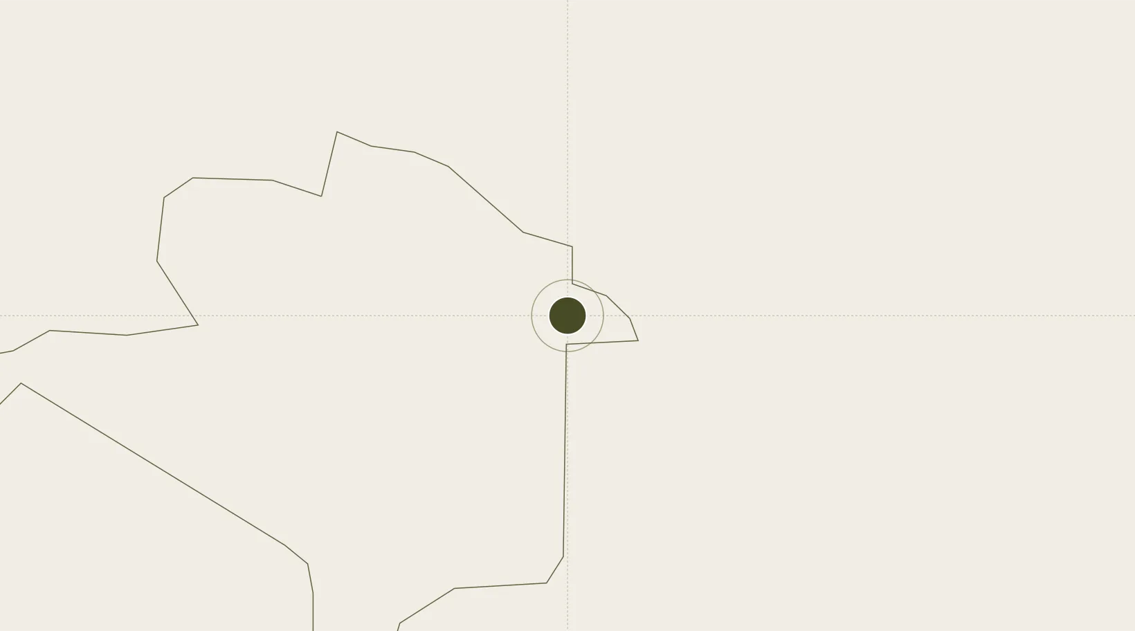
2.5258°, 34.6371°
228 ha
Zone area
876.7 km
Nearest port
126.6 km
Nearest airport

Gateway access

Nearest neighbours — logibook spatial index (haversine) over the source coordinates

Zone profile

Zone type
Export Processing Zone
Open Zone Map
Region
Napak
Open Zone Map
Status
Under Development
Open Zone Map
Management
Public-Private Partnership
Open Zone Map
Operator
Uganda Investment Authority
Open Zone Map
Legal framework
Free Zones Act, 2014 (No. 5 of 2014).
Open Zone Map

Location

Location of ozm-4598
Natural Earth 10m (public domain) · Napak · ozm-4598 · 2.53, 34.64GoogleOSMYandex

Nearby Logistics Neighbours

Ports
  1. 1Lamu877 km
  2. 2Malindi884 km
  3. 3Kilifi898 km
  4. 4Mombasa922 km
  5. 5Kismaayo937 km
Nearest neighbours — logibook spatial index (haversine) over the source coordinates
Airports
  1. 1Lodwar Airport127 km
  2. 2Soroti Airport143 km
  3. 3Kitale Airport176 km
  4. 4Lokichogio Airport189 km
  5. 5Eldoret International Airport245 km
Nearest neighbours — logibook spatial index (haversine) over the source coordinates
Cities
  1. 1Moroto6 km
  2. 2Malaba216 km
  3. 3Bungoma218 km
  4. 4Galiraya239 km
  5. 5Siaya276 km
Nearest neighbours — logibook spatial index (haversine) over the source coordinates
Trade Zones
  1. 1Soroti Industrial Park146 km
  2. 2Sino-Uganda Mbale Industrial Park171 km
  3. 3Lira Industrial Park194 km
  4. 4Tororo Industrial Park214 km
  5. 5Africa Economic Zones Eldoret236 km
Nearest neighbours — logibook spatial index (haversine) over the source coordinates
DatabookThe Record of Consolidated Knowledge
Uganda beyond logistics?
Browse databook

All Sources

Trade ZonesOpen Zone Map
CC BY
Portsthe NGA World Port Index
Public domain (US gov)
AirportsOurAirports
Public domain
LocationsUN/LOCODE
UN/LOCODE — free
← Uganda trade zones