Medium airport · Kenya

Lokichogio AirportHKLK
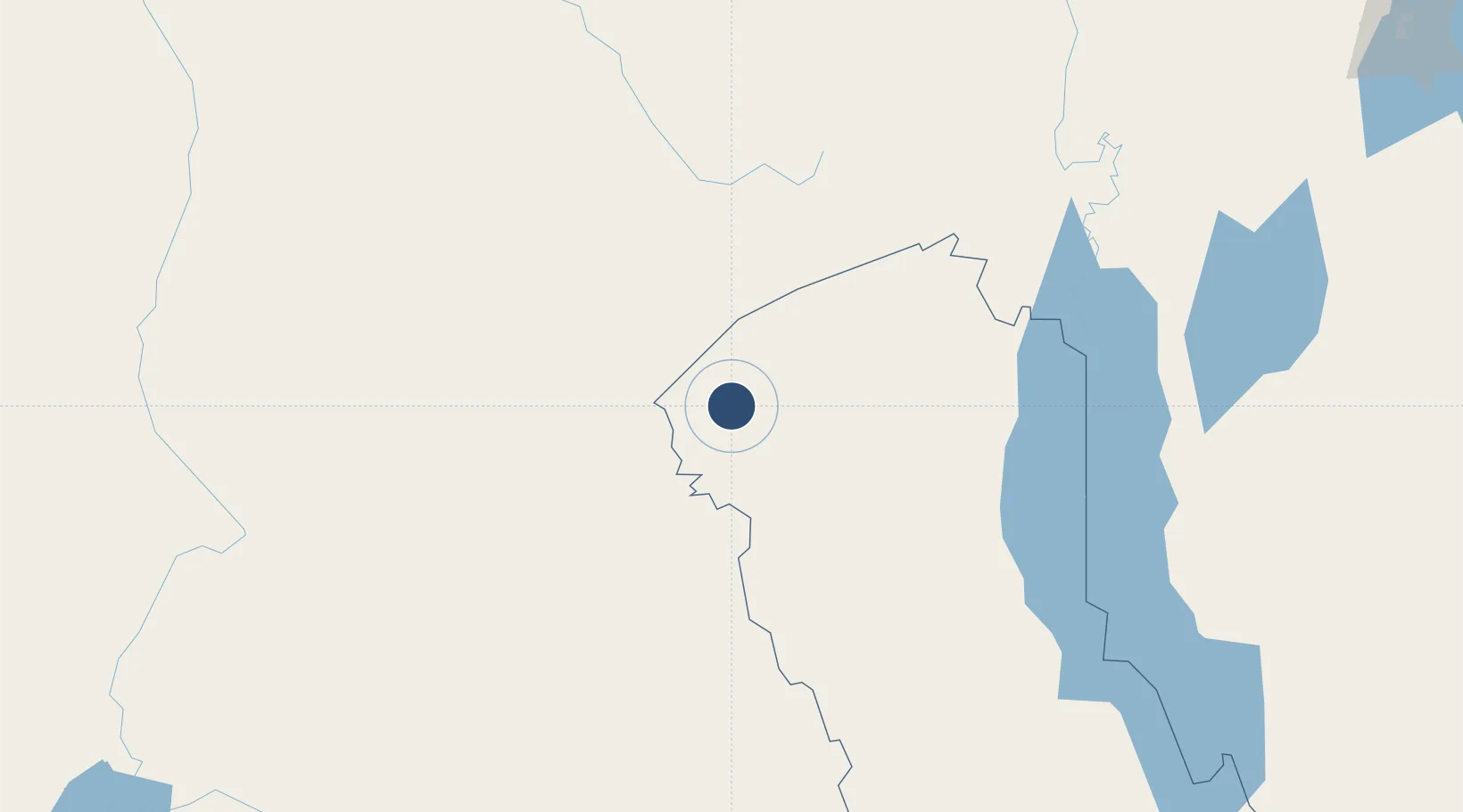
4.2041°, 34.3482°
6,195 ft
Longest runway
1
Runways
2,074 ft
Elevation

Runway & Layout

Lokichogio Airport runway & taxiway layout
Runway & taxiway layout — OpenStreetMap (ODbL) / OurAirports

Radio Frequencies

TWR
125.9 MHz
OurAirports

Runways · 1

RunwayDimensions SurfaceTrue headingLit
09/27 6,195 × 62ft Asphalt 092°
OurAirports

Airport Specifications

IATA code
LKG
OurAirports
ICAO code
HKLK
OurAirports
Airport class
Medium airport
OurAirports
Scheduled service
No
OurAirports
Runway surface
Asphalt
OurAirports
Served city
Lokichogio
OurAirports

Location

Location of HKLK
Natural Earth 10m (public domain) · Rift Valley · HKLK · 4.20, 34.35GoogleOSMYandex

Nearby Logistics Neighbours

Airports
  1. 1Lodwar Airport185 km
  2. 2Gulu Airport278 km
  3. 3Soroti Airport287 km
  4. 4Baco Airport299 km
  5. 5Juba International Airport313 km
Nearest neighbours — logibook spatial index (haversine) over the source coordinates
Cities
  1. 1Moroto195 km
  2. 2Galiraya362 km
  3. 3Malaba399 km
  4. 4Bungoma405 km
  5. 5Siaya460 km
Nearest neighbours — logibook spatial index (haversine) over the source coordinates
Ports
  1. 1Lamu1024 km
  2. 2Kismaayo1043 km
  3. 3Malindi1046 km
  4. 4Kilifi1066 km
  5. 5Mombasa1093 km
Nearest neighbours — logibook spatial index (haversine) over the source coordinates
Trade Zones
  1. 1Moroto Industrial Park189 km
  2. 2Lira Industrial Park270 km
  3. 3Gulu Industrial Park282 km
  4. 4Soroti Industrial Park288 km
  5. 5Juba Specialised Economic Zone314 km
Nearest neighbours — logibook spatial index (haversine) over the source coordinates
DatabookThe Record of Consolidated Knowledge
Kenya beyond logistics?
Browse databook

All Sources

AirportsOurAirports
Public domain
Portsthe NGA World Port Index
Public domain (US gov)
LocationsUN/LOCODE
UN/LOCODE — free
Trade Zonesthe World Bank SEZ database
CC BY 4.0
Trade ZonesOpen Zone Map
CC BY
InfrastructureOpenStreetMap
ODbL 1.0
← Kenya airports