Medium airport · Uganda
Arua AirportHUAR
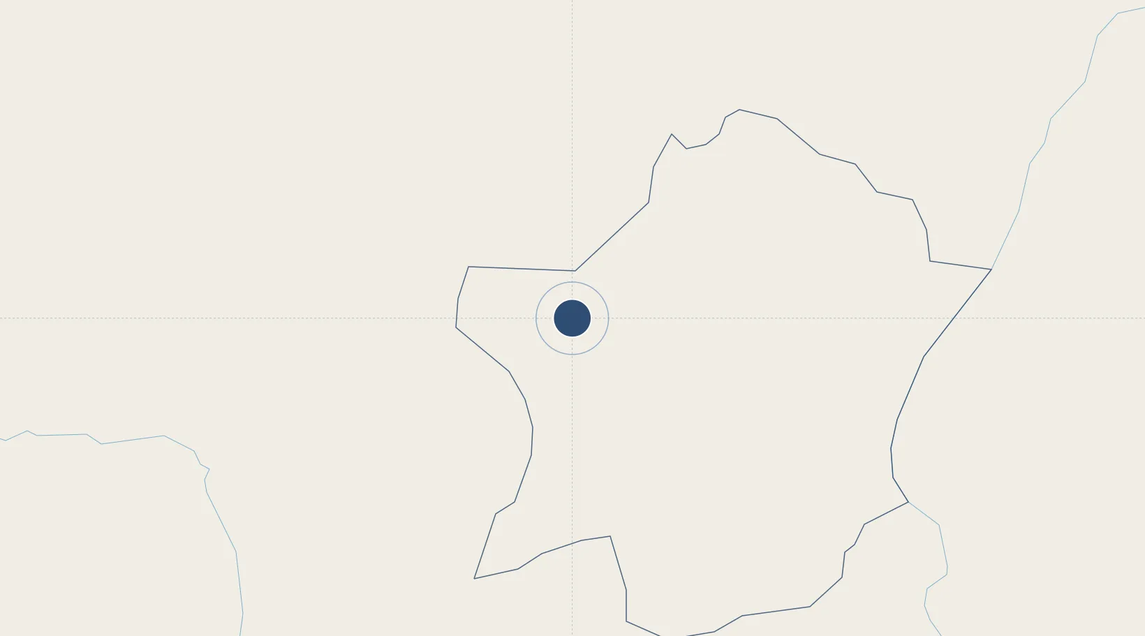
3.0492°, 30.9117°
5,600 ft
Longest runway
1
Runways
3,951 ft
Elevation
Runway & Layout

Runways · 1
| Runway | Dimensions | Surface | True heading | Lit |
|---|---|---|---|---|
| 18/36 | 5,600 × —ft | Unpaved | — | — |
Airport Specifications
IATA code
RUA
ICAO code
HUAR
Airport class
Medium airport
Scheduled service
Yes
Runway surface
Unpaved
Served city
Arua
Location
Nearby Logistics Neighbours
Airports
- 1Gulu Airport153 km
- 2Bunia Airport182 km
- 3Juba International Airport217 km
- 4Soroti Airport335 km
- 5Matari Airport370 km
Trade Zones
- 1Arua Special Economic Zone8 km
- 2Buliisa Industrial Park119 km
- 3Gulu Industrial Park153 km
- 4Hoima Industrial Park185 km
- 5Juba Specialised Economic Zone221 km
DatabookThe Record of Consolidated Knowledge
Uganda beyond logistics?