UN/LOCODE hub · Togo
TGLFW
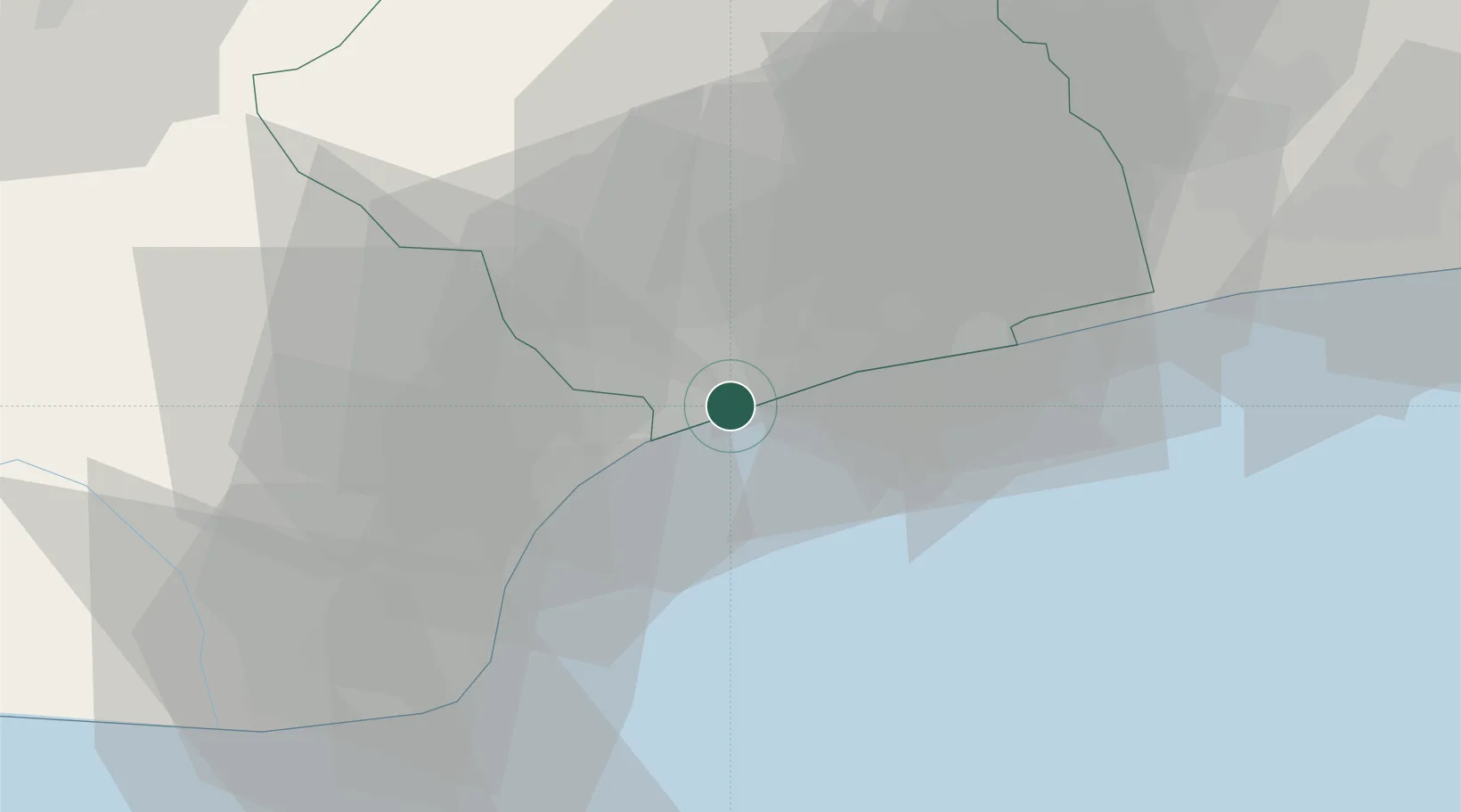
Lome
6.1414°, 1.2796°
2,188,376
Population
3
Transport functions
2
Container terminals
Transport Functions
Port
Airport
Postal
Hub Profile
Place type
National capital
Region
Maritime
Population
2,188,376
Time zone
Africa/Lome
Elevation
13 m
Logistics facilities
5
Container terminals
2
Location
Nearby Logistics Neighbours
Cities
- 1Ablogamé3 km
- 2Adéti-Kopé25 km
- 3Aného37 km
- 4Cotonou122 km
- 5Bohicon146 km
Ports
- 1Kpeme27 km
- 2Cotonou130 km
- 3Tema151 km
- 4Tin Can Island230 km
- 5Lagos236 km
Airports
Trade Zones
DatabookThe Record of Consolidated Knowledge
Togo beyond logistics?