Export Processing Zone · Benin

Allada Special Agro-Industrial Zone Under Development
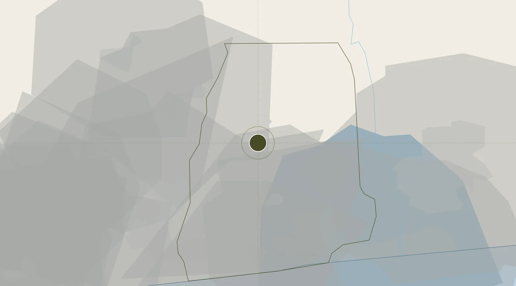
6.6548°, 2.1729°
80 ha
Zone area
44.5 km
Nearest port
40.5 km
Nearest airport

Gateway access

Nearest neighbours — logibook spatial index (haversine) over the source coordinates

Zone profile

Zone type
Export Processing Zone
Open Zone Map
Region
Atlantique
Open Zone Map
Status
Under Development
Open Zone Map
Management
Private
Open Zone Map
Operator
Agency for the Promotion of Investments and Exports (APIEX) - Ministry of Agriculture, Livestock and Fisheries
Open Zone Map
Legal framework
Law No. 2017-07 of June 19, 2017
Open Zone Map

Location

Location of ozm-184
Natural Earth 10m (public domain) · Atlantique · ozm-184 · 6.65, 2.17GoogleOSMYandex

Nearby Logistics Neighbours

Ports
  1. 1Cotonou45 km
  2. 2Kpeme88 km
  3. 3Lome114 km
  4. 4Tin Can Island134 km
  5. 5Lagos139 km
Nearest neighbours — logibook spatial index (haversine) over the source coordinates
Airports
  1. 1Cotonou Cadjehoun International Airport41 km
  2. 2Lomé–Tokoin International Airport115 km
  3. 3Murtala Muhammed International Airport127 km
  4. 4Ho Airport181 km
  5. 5Ibadan Airport214 km
Nearest neighbours — logibook spatial index (haversine) over the source coordinates
Cities
  1. 1Cotonou27 km
  2. 2Porto-Novo53 km
  3. 3Bohicon62 km
  4. 4Akoko67 km
  5. 5Aného79 km
Nearest neighbours — logibook spatial index (haversine) over the source coordinates
Trade Zones
  1. 1Glo-Djigbé Special Economic Zone11 km
  2. 2Seme-Podji Export Processing Zone54 km
  3. 3Free Processing Zone of Benin60 km
  4. 4Sèmè-Podji Free Industrial Zone60 km
  5. 5Badagry Free Zone (Maritime Economic City)85 km
Nearest neighbours — logibook spatial index (haversine) over the source coordinates
DatabookThe Record of Consolidated Knowledge
Benin beyond logistics?
Browse databook

All Sources

Trade ZonesOpen Zone Map
CC BY
Portsthe NGA World Port Index
Public domain (US gov)
AirportsOurAirports
Public domain
LocationsUN/LOCODE
UN/LOCODE — free
← Benin trade zones