Transport Functions
Port
Hub Profile
Place type
Populated place
Region
Maritime
Population
47,579
Time zone
Africa/Lome
Elevation
5 m
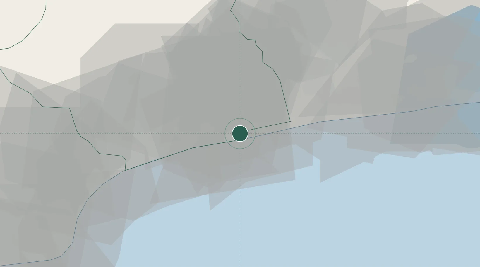
Location
Nearby Logistics Neighbours
Cities
- 1Lome37 km
- 2Ablogamé40 km
- 3Adéti-Kopé46 km
- 4Cotonou85 km
- 5Porto-Novo116 km
Ports
- 1Kpeme10 km
- 2Lome37 km
- 3Cotonou93 km
- 4Tema188 km
- 5Tin Can Island194 km
Airports
Trade Zones
DatabookThe Record of Consolidated Knowledge
Togo beyond logistics?