About
Methodology
Sources
Licensing
English
EN
English
TR
Türkçe
DE
Deutsch
FR
Français
ES
Español
IT
Italiano
PT
Português
NL
Nederlands
PL
Polski
RU
Русский
UK
Українська
CS
Čeština
RO
Română
EL
Ελληνικά
BG
Български
AR
العربية
FA
فارسی
UR
اردو
HI
हिन्दी
BN
বাংলা
ID
Bahasa Indonesia
VI
Tiếng Việt
ZH
中文
JA
日本語
KO
한국어
logibook
/
Countries
/
Togo
/
Locations
/
Adéti-Kopé
UN/LOCODE hub ·
Togo
TG
ADK
Adéti-Kopé
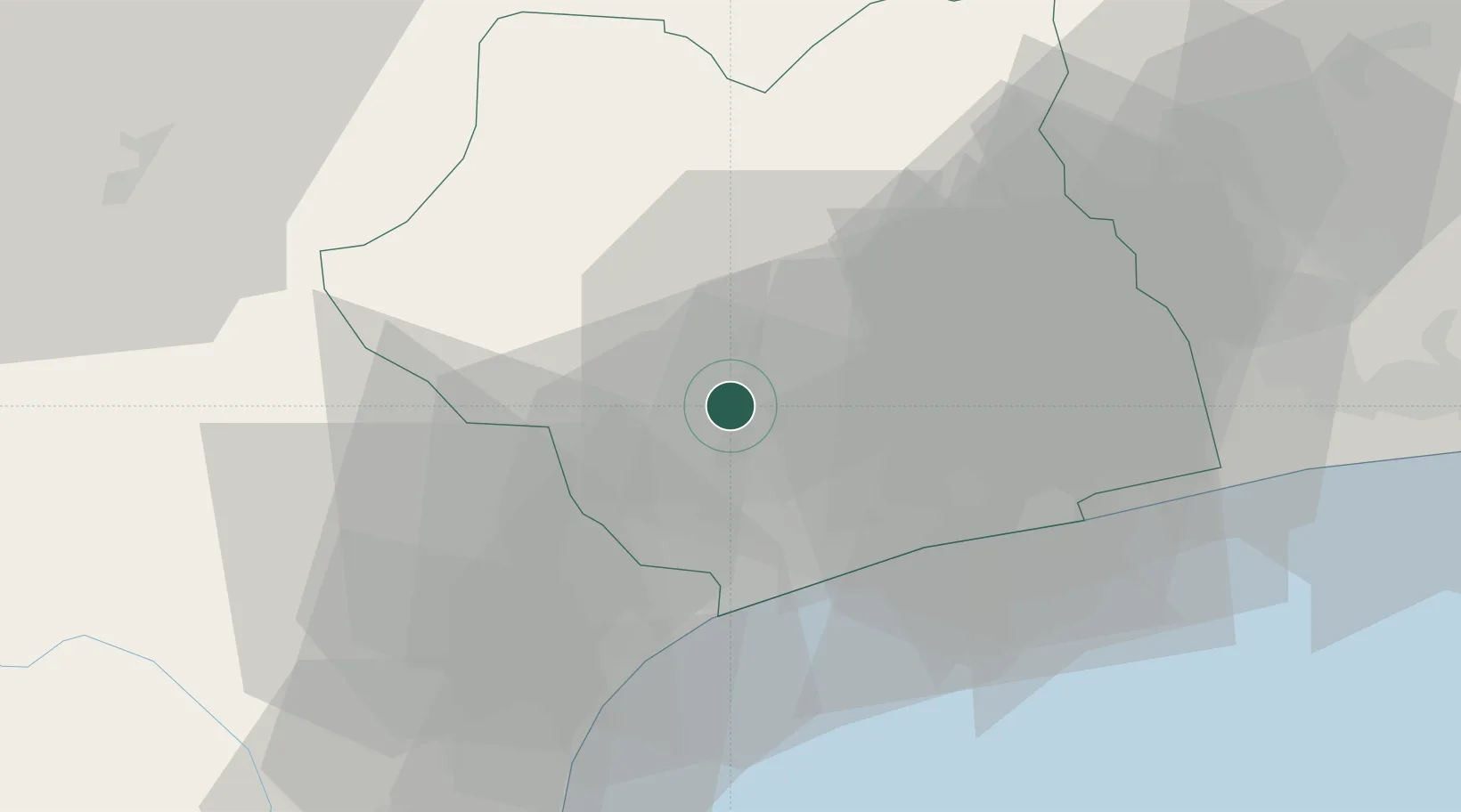
6.3500°, 1.2000°
1
Transport functions
Transport Functions
Multimodal
UN/LOCODE
Hub Profile
Place type
Populated place
GeoNames
Region
Maritime
GeoNames
Time zone
Africa/Lome
GeoNames
Elevation
41 m
GeoNames
Location
Natural Earth 10m (public domain) · Maritime · TGADK · 6.35, 1.20
Google ↗
OSM ↗
Yandex ↗
Nearby Logistics Neighbours
Cities
1
Ablogamé
25 km
2
Lome
25 km
3
Aného
46 km
4
Cotonou
126 km
5
Bohicon
135 km
Nearest neighbours — logibook spatial index (haversine) over the source coordinates
Ports
1
Lome
26 km
2
Kpeme
39 km
3
Cotonou
136 km
4
Tema
153 km
5
Tin Can Island
238 km
Nearest neighbours — logibook spatial index (haversine) over the source coordinates
Airports
1
Lomé–Tokoin International Airport
21 km
2
Ho Airport
78 km
3
Cotonou Cadjehoun International Airport
131 km
4
Kotoka International Airport
172 km
5
Murtala Muhammed International Airport
236 km
Nearest neighbours — logibook spatial index (haversine) over the source coordinates
Trade Zones
1
Adétikopé Industrial Platform
3 km
2
Lomé-Togo Free Zone
18 km
3
Allada Special Agro-Industrial Zone
113 km
4
Dawa Industrial Zone
113 km
5
Glo-Djigbé Special Economic Zone
121 km
Nearest neighbours — logibook spatial index (haversine) over the source coordinates
Data
book
The Record of Consolidated Knowledge
Togo beyond logistics?
Browse databook
→
All Sources
Locations
UN/LOCODE
UN/LOCODE — free
↗
Ports
the NGA World Port Index
Public domain (US gov)
↗
Airports
OurAirports
Public domain
↗
Trade Zones
the World Bank SEZ database
CC BY 4.0
↗
Trade Zones
Open Zone Map
CC BY
↗
← Togo locations