Transport Functions
Multimodal
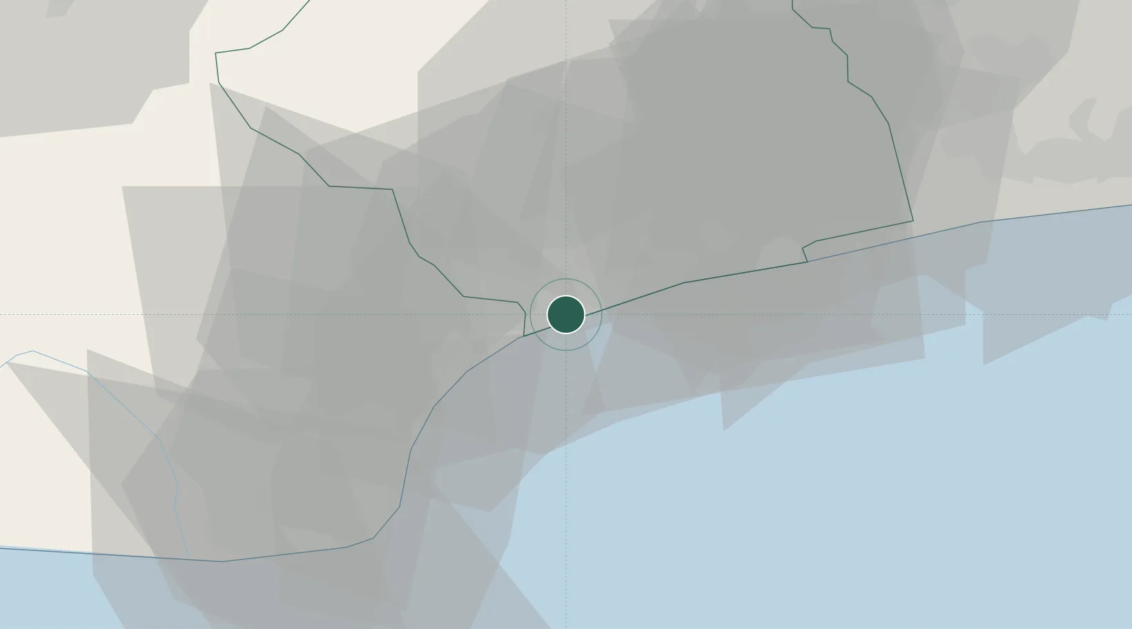
Hub Profile
Place type
Populated place
Region
Maritime
Time zone
Africa/Lome
Elevation
65 m
Location
Nearby Logistics Neighbours
Cities
- 1Lome3 km
- 2Adéti-Kopé25 km
- 3Aného40 km
- 4Cotonou125 km
- 5Tema149 km
Ports
- 1Lome4 km
- 2Kpeme30 km
- 3Cotonou133 km
- 4Tema148 km
- 5Tin Can Island233 km
Airports
Trade Zones
DatabookThe Record of Consolidated Knowledge
Togo beyond logistics?