Transport Functions
Port
Airport
Postal
Hub Profile
Place type
Seat of government
Region
Littoral
Population
679,012
Time zone
Africa/Porto-Novo
Elevation
7 m
Logistics facilities
5
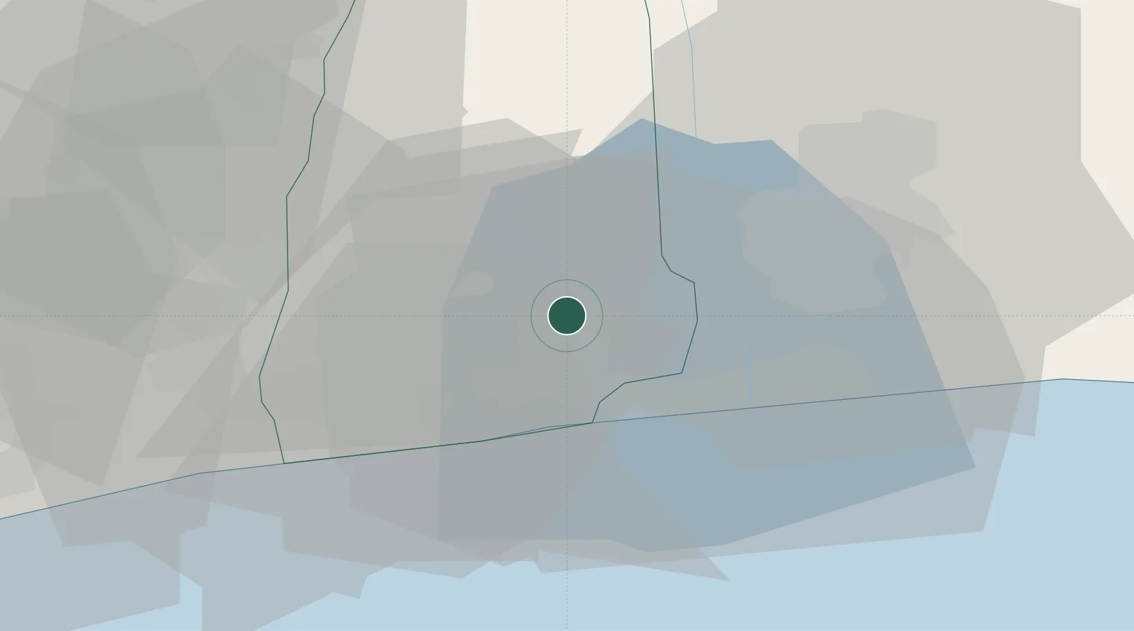
Location
Nearby Logistics Neighbours
Cities
- 1Porto-Novo32 km
- 2Akoko45 km
- 3Ado Odo68 km
- 4Aného85 km
- 5Bohicon87 km
Ports
- 1Kpeme95 km
- 2Tin Can Island114 km
- 3Lagos119 km
- 4Lome121 km
- 5Tema272 km
Airports
- 1Cotonou Cadjehoun International Airport14 km
- 2Murtala Muhammed International Airport110 km
- 3Lomé–Tokoin International Airport123 km
- 4Ho Airport199 km
- 5Ibadan Airport208 km
Trade Zones
DatabookThe Record of Consolidated Knowledge
Benin beyond logistics?