Free Trade Zone · Benin

Glo-Djigbé Special Economic Zone Under Development
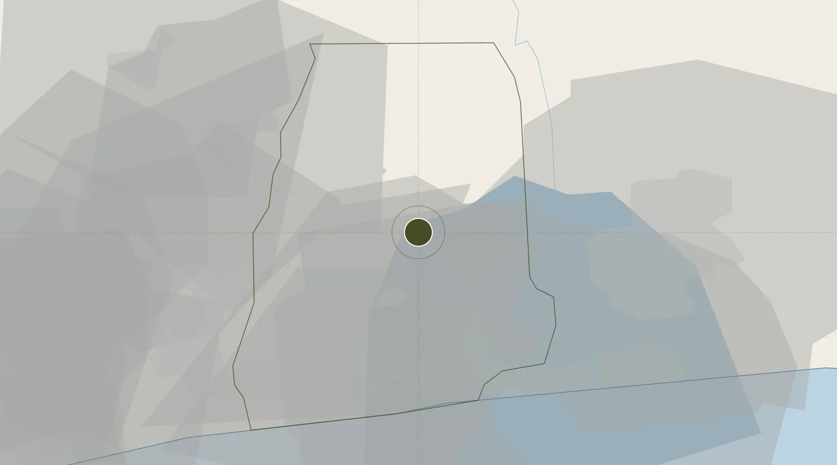
6.6108°, 2.2618°
42 ha
Zone area
34.6 km
Nearest port
31.3 km
Nearest airport

Gateway access

Nearest neighbours — logibook spatial index (haversine) over the source coordinates

Zone profile

Zone type
Free Trade Zone
Open Zone Map
Region
Atlantique
Open Zone Map
Status
Under Development
Open Zone Map
Management
Public
Open Zone Map
Operator
Administrative Authority of SEZs
Open Zone Map
Legal framework
Law No. 2017-07 of 19 June 2017
Open Zone Map

Location

Location of ozm-186
Natural Earth 10m (public domain) · Atlantique · ozm-186 · 6.61, 2.26GoogleOSMYandex

Nearby Logistics Neighbours

Ports
  1. 1Cotonou35 km
  2. 2Kpeme94 km
  3. 3Lome121 km
  4. 4Tin Can Island124 km
  5. 5Lagos128 km
Nearest neighbours — logibook spatial index (haversine) over the source coordinates
Airports
  1. 1Cotonou Cadjehoun International Airport31 km
  2. 2Murtala Muhammed International Airport117 km
  3. 3Lomé–Tokoin International Airport122 km
  4. 4Ho Airport191 km
  5. 5Ibadan Airport207 km
Nearest neighbours — logibook spatial index (haversine) over the source coordinates
Cities
  1. 1Cotonou18 km
  2. 2Porto-Novo42 km
  3. 3Akoko56 km
  4. 4Bohicon69 km
  5. 5Ado Odo74 km
Nearest neighbours — logibook spatial index (haversine) over the source coordinates
Trade Zones
  1. 1Allada Special Agro-Industrial Zone11 km
  2. 2Seme-Podji Export Processing Zone43 km
  3. 3Free Processing Zone of Benin49 km
  4. 4Sèmè-Podji Free Industrial Zone49 km
  5. 5Badagry Free Zone (Maritime Economic City)74 km
Nearest neighbours — logibook spatial index (haversine) over the source coordinates
DatabookThe Record of Consolidated Knowledge
Benin beyond logistics?
Browse databook

All Sources

Trade ZonesOpen Zone Map
CC BY
Portsthe NGA World Port Index
Public domain (US gov)
AirportsOurAirports
Public domain
LocationsUN/LOCODE
UN/LOCODE — free
← Benin trade zones