Diversified Zone · Tajikistan

Pyanj Free Economic Zone Active
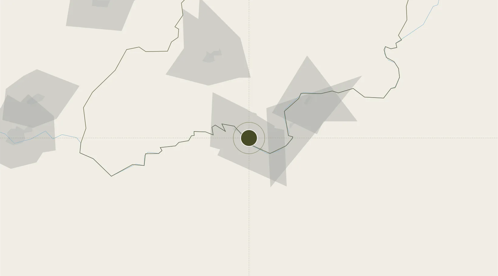
37.2270°, 69.1009°
401 ha
Zone area
1,395.5 km
Nearest port
36.4 km
Nearest airport

Gateway access

Nearest neighbours — logibook spatial index (haversine) over the source coordinates

Zone profile

Zone type
Diversified Zone
Open Zone Map
Region
Khatlon
Open Zone Map
Status
Active
Open Zone Map
Management
Public
Open Zone Map
Operator
Administration of FEZ "PYANJ"
Open Zone Map
Legal framework
Resolution on the Status of the Pyanj Free Economic Zone dated August 1, 2008 No. 368
Open Zone Map

Location

Location of ozm-4401
Natural Earth 10m (public domain) · Khatlon · ozm-4401 · 37.23, 69.10GoogleOSMYandex

Nearby Logistics Neighbours

Ports
  1. 1Muhamamad Bin Qasim1396 km
  2. 2Karachi1398 km
  3. 3Gwadar1491 km
  4. 4Chah Bahar1554 km
  5. 5Kandla1582 km
Nearest neighbours — logibook spatial index (haversine) over the source coordinates
Airports
  1. 1Qara Tepa Heliport36 km
  2. 2Farkhor Air Base37 km
  3. 3Kunduz Airport65 km
  4. 4Qurghonteppa International Airport74 km
  5. 5Kulob Airport105 km
Nearest neighbours — logibook spatial index (haversine) over the source coordinates
Cities
  1. 1Qurghonteppa74 km
  2. 2Shaartuz86 km
  3. 3Termez162 km
  4. 4Dehdadi199 km
  5. 5Qasim327 km
Nearest neighbours — logibook spatial index (haversine) over the source coordinates
Trade Zones
  1. 1Kunduz Special Economic Zone65 km
  2. 2Dangara Free Economic Zone93 km
  3. 3Kulob Free Economic Zone96 km
  4. 4Termez Termiz Free Economic Zone161 km
  5. 5Boysun-pharm Free Economic Zone161 km
Nearest neighbours — logibook spatial index (haversine) over the source coordinates
DatabookThe Record of Consolidated Knowledge
Tajikistan beyond logistics?
Browse databook

All Sources

Trade ZonesOpen Zone Map
CC BY
Portsthe NGA World Port Index
Public domain (US gov)
AirportsOurAirports
Public domain
LocationsUN/LOCODE
UN/LOCODE — free
← Tajikistan trade zones