Seaport · Pakistan
KarachiPKKHI
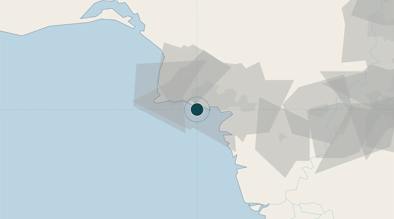
24.7833°, 66.9833°
12.2 m
Channel depth
3
Container terminals
309.8
Port liner connectivity
Channel & Berth Profile
Pilotage, Tugs & Services
Pilotage compulsoryYES
Pilotage availableYES
Pilotage advisableYES
Tug assistanceYES
Salvage tugsYES
Shore powerYES
Potable waterYES
Diesel bunkersYES
MedicalYES
Garbage disposalYES
Facilities & Capabilities
ContainerYES
Ro-RoYES
Liquid bulkYES
Dry bulkYES
Oil terminal—
Break bulkYES
Dry dockNO
RepairsNO
BunkeringYES
Rail linkYES
Dangerous cargo—
ISPS security—
Harbour Specifications
Harbour size
Medium
Harbour type
Coastal (Natural)
Shelter
Good
Water body
Arabian Sea; Indian Ocean
Tidal range
2 m
Overhead limit
Yes
Pilotage
Yes
Liner Connectivity
309.8
PLSCI
Port Liner Shipping Connectivity Index for Karachi, as published by UNCTAD for the latest available quarter. Higher values indicate stronger scheduled liner-shipping integration.
Shown relative to the highest per-port PLSCI in the dataset (1,657.9).
Location
Container Terminals · 3
KARACHI INTERNATIONAL CONTAINER TERMINAL (KICT)
KICT KARACHI INTERNATIONAL CONTAINER TERMINAL
PAKISTAN INTERNATIONAL CONTAINER TERMINAL (PICT)
PICT PAKISTAN INTERNATIONAL CONTAINER TERMINAL LIMITED
SOUTH ASIA PAKISTAN TERMINAL (SAPT)
SAPT SOUTH ASIA PAKISTAN TERMINAL LTD.
Nearby Logistics Neighbours
Ports
- 1Muhamamad Bin Qasim37 km
- 2Mandvi324 km
- 3Okha335 km
- 4Mundra359 km
- 5Vadinar Terminal376 km
Cities
- 1Kiamari4 km
- 2Karachi Container Terminal6 km
- 3Karachi Freight Terminal11 km
- 4Muhammad Bin Qasim/Karachi35 km
- 5Keti Bandar85 km
Airports
- 1Masroor Air Base13 km
- 2Faisal Air Base17 km
- 3Jinnah International Airport23 km
- 4Hyderabad Airport152 km
- 5Sehwan Sharif Airport202 km
Trade Zones
DatabookThe Record of Consolidated Knowledge
Pakistan beyond logistics?