UN/LOCODE hub · Tajikistan
TJSTZ

Shaartuz

37.2500°, 68.1333°
2
Transport functions

Transport Functions

Rail
Road
UN/LOCODE

Hub Profile

Region
KT
GeoNames

Location

Location of TJSTZ
Natural Earth 10m (public domain) · KT · TJSTZ · 37.25, 68.13GoogleOSMYandex

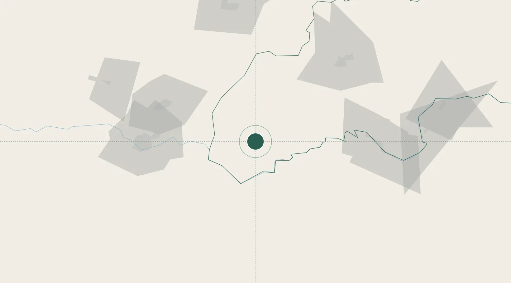
Nearby Logistics Neighbours

Cities
  1. 1Termez77 km
  2. 2Qurghonteppa86 km
  3. 3Dehdadi122 km
  4. 4Karshi257 km
  5. 5Kerkichi264 km
Nearest neighbours — logibook spatial index (haversine) over the source coordinates
Ports
  1. 1Muhamamad Bin Qasim1390 km
  2. 2Karachi1391 km
  3. 3Gwadar1456 km
  4. 4Chah Bahar1511 km
  5. 5Jazireh-Ye Hormoz1573 km
Nearest neighbours — logibook spatial index (haversine) over the source coordinates
Airports
  1. 1Termez Airport73 km
  2. 2Qurghonteppa International Airport94 km
  3. 3Kunduz Airport95 km
  4. 4Mazar-i-Sharif International Airport102 km
  5. 5Farkhor Air Base113 km
Nearest neighbours — logibook spatial index (haversine) over the source coordinates
Trade Zones
  1. 1Termez Termiz Free Economic Zone75 km
  2. 2Boysun-pharm Free Economic Zone75 km
  3. 3Pyanj Free Economic Zone86 km
  4. 4Kunduz Special Economic Zone94 km
  5. 5Balkh Special Economic Zone101 km
Nearest neighbours — logibook spatial index (haversine) over the source coordinates
DatabookThe Record of Consolidated Knowledge
Tajikistan beyond logistics?
Browse databook

All Sources

LocationsUN/LOCODE
UN/LOCODE — free
Portsthe NGA World Port Index
Public domain (US gov)
AirportsOurAirports
Public domain
Trade Zonesthe World Bank SEZ database
CC BY 4.0
Trade ZonesOpen Zone Map
CC BY
← Tajikistan locations