Transport Functions
Rail
Road
Border Crossing
Hub Profile
Region
SU
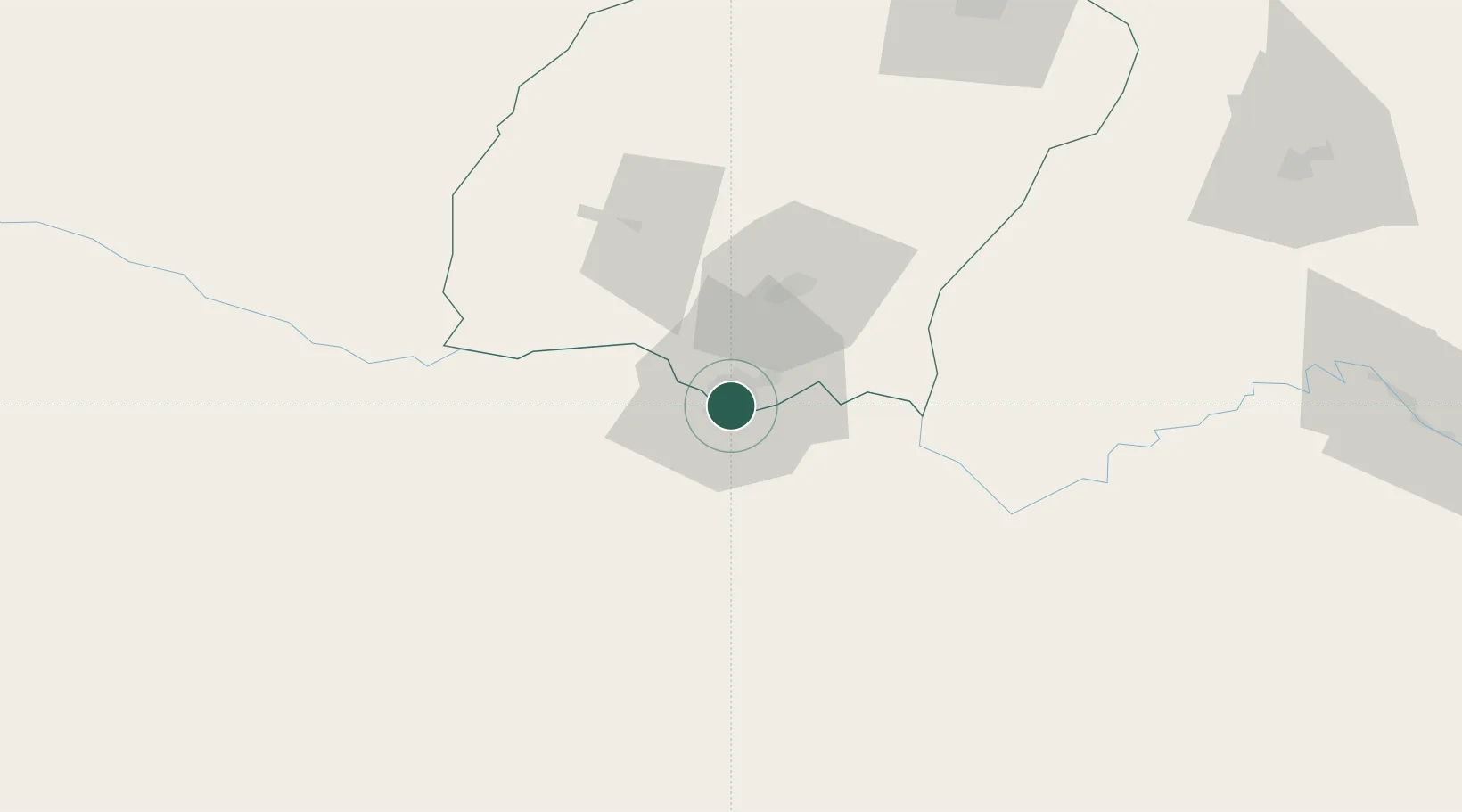
Location
Nearby Logistics Neighbours
Cities
- 1Dehdadi68 km
- 2Shaartuz77 km
- 3Qurghonteppa149 km
- 4Kerkichi193 km
- 5Karshi204 km
Ports
- 1Karachi1383 km
- 2Muhamamad Bin Qasim1384 km
- 3Gwadar1424 km
- 4Chah Bahar1470 km
- 5Jazireh-Ye Hormoz1515 km
Airports
- 1Termez Airport9 km
- 2Mazar-i-Sharif International Airport57 km
- 3Qurghonteppa International Airport158 km
- 4Kunduz Airport159 km
- 5Farkhor Air Base189 km
Trade Zones
DatabookThe Record of Consolidated Knowledge
Uzbekistan beyond logistics?